
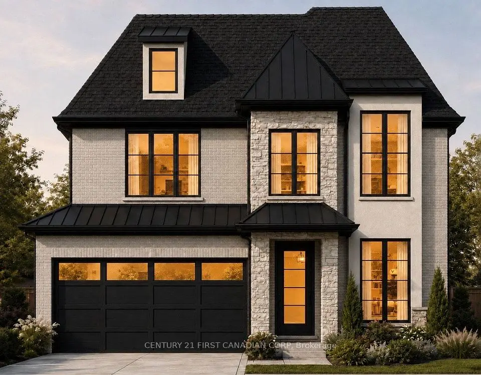
New
$1,059,890
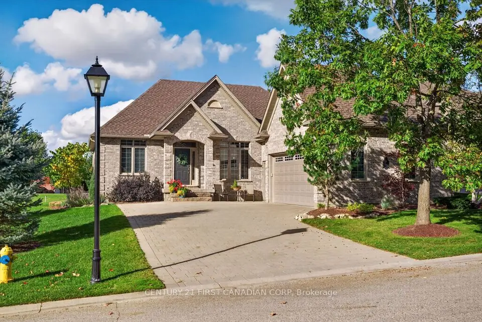
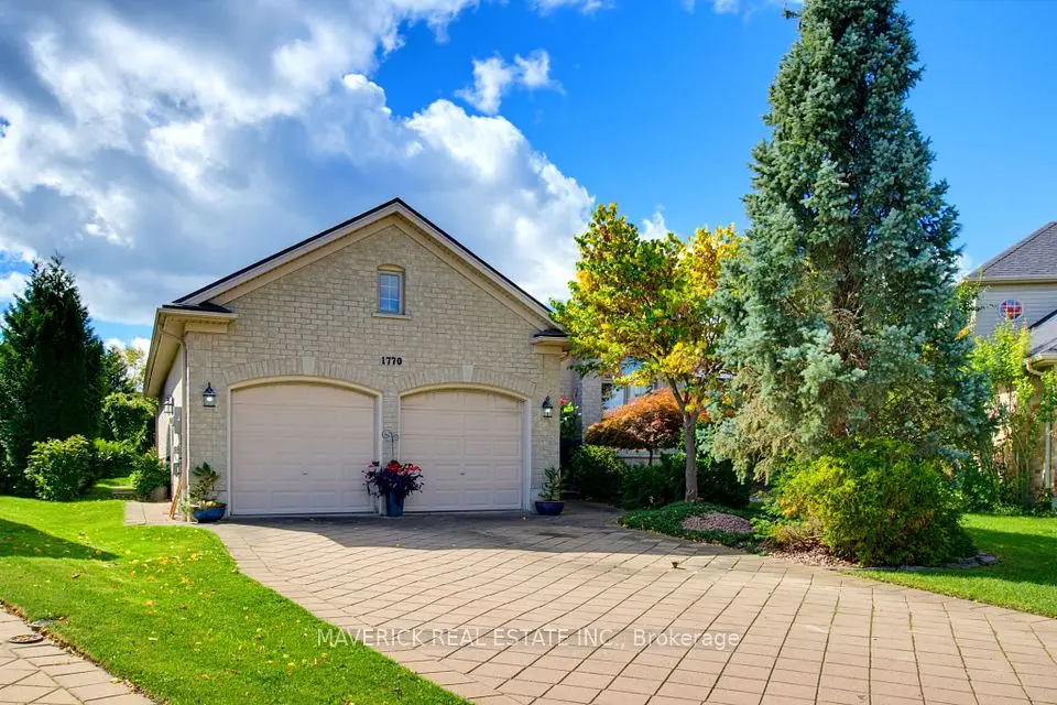
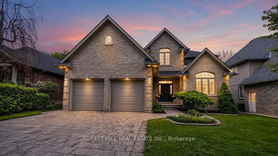
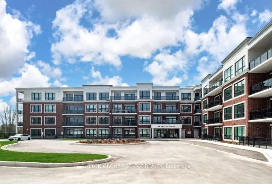
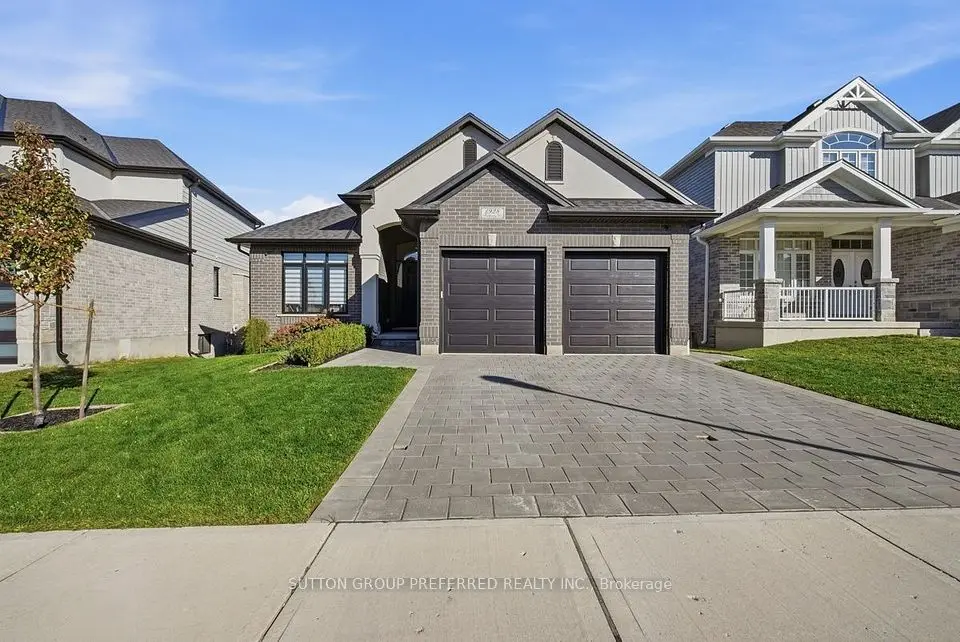
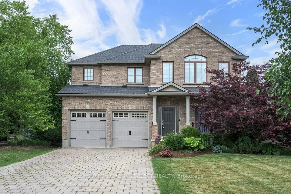
Showing 1-9 of 9 active listings
Browse Riverbend by home type
Listing data provided under copyright by the London and St. Thomas Association of REALTORS® and other participating boards via PropTx Amplify Syndication. Information is deemed reliable but not guaranteed accurate. Only active listings are shown.
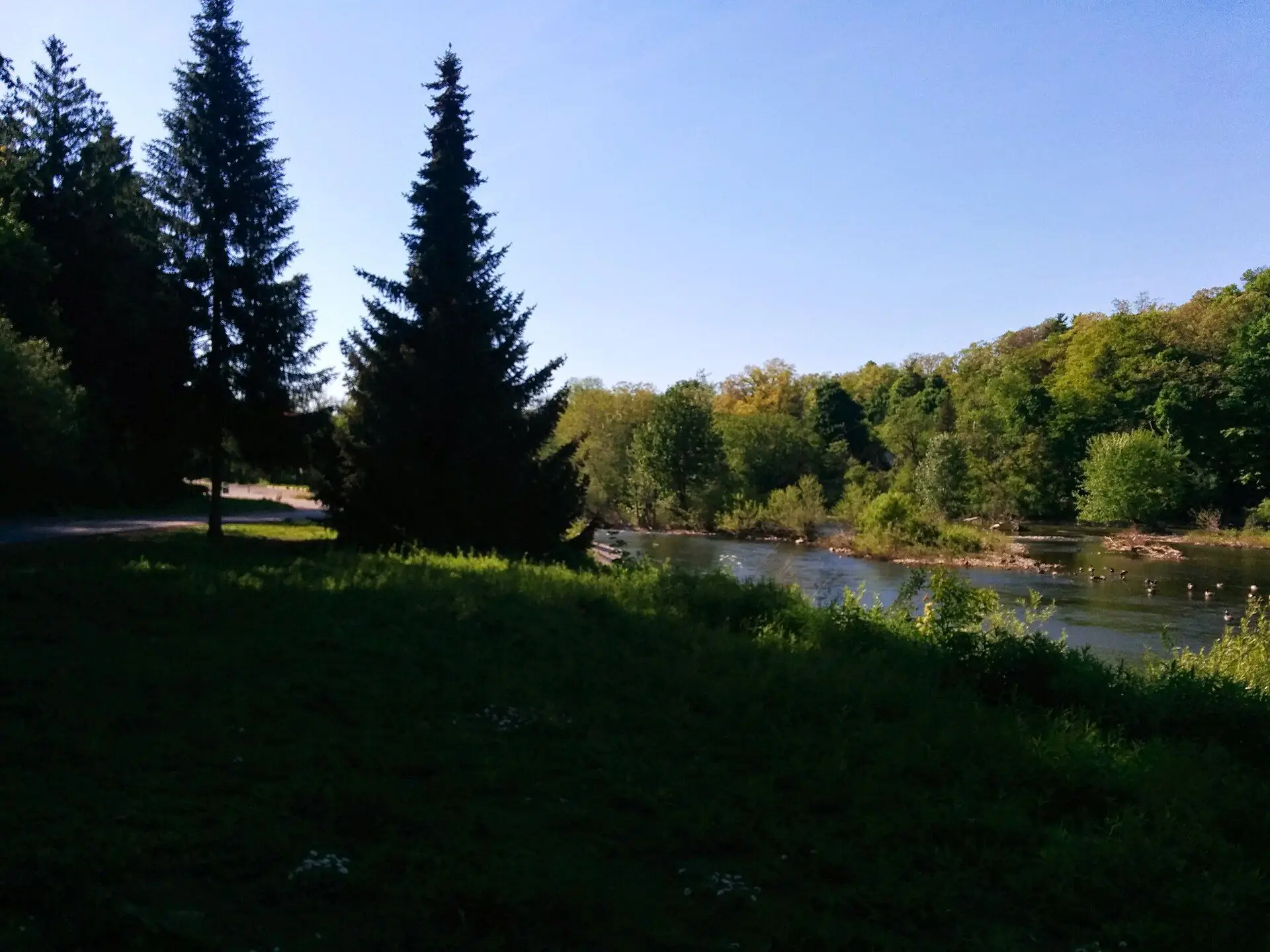
Look at the Thames on a map of west London and you will see it swing sharply north and back again. The Upper Thames River Conservation Authority calls this stretch River Bend, or The Thumb, after the river's large northward meander. On the City's planning district map the river forms the district's eastern and northern edges, which is also the city limit on the north side; Byron lies to the south and Woodhull to the southwest.
The growth here is recent. The City's neighbourhood profile counted just 40 residents in 1996, then 465 in 2001, 870 in 2006, 2,520 in 2011 and 3,325 in 2016.
In the 2016 Census, 73% of Riverbend's 1,280 occupied homes were single-detached houses, 24% were row houses and 3% were semi-detached, with no apartment buildings counted. About 88% were owned and the median age of residents was 46.3. Riverbend Road, Shore Road, Kains Road, Upperpoint Boulevard and Warbler Woods Walk are among the main residential streets.
Kains Woods Environmentally Significant Area follows the Thames around the loop, with 28 hectares of public land and 5.8 km of managed trails, part of them marked in white as the Thames Valley Trail. Access points are off Shore Road, Oxford Street West, Westdel Bourne and Tigerlily Road. Warbler Woods, a 40-hectare forest known for birding, reaches into the district from Byron, with access from Warbler Woods Walk. Riverbend Park, 10.7 hectares at 1585 Riverbend Road, has a spray pad and a play structure.
St. Nicholas Catholic School (London District Catholic School Board) is inside the district at 1956 Shore Road. The Thames Valley District School Board serves the district for public schools. Boundaries are set by the boards and change as new neighbourhoods fill in, so check any address with the TVDSB and LDCSB school locators.
London Transit buses connect Riverbend with Oxford Street West; check LTC for current routes and times.
If the house is less than seven years old, it may still be inside Ontario's new-home warranty, which Tarion administers in stages over the first seven years, so ask for the warranty enrolment and any open claims. Lots that back onto Kains Woods or the ravines that run to the river can fall within the Upper Thames River Conservation Authority's regulated area, which matters for decks, pools and additions. We can also show you how Riverbend compares with the rest of London.
Something else? Ask Rob or George directly.
Neither, exactly. It sits inside a loop of the river, which runs along its east and north sides. Byron borders it to the south and southeast, with no river between them.
Very new for London. Only 40 people lived in the district in 1996 and more than 3,300 by 2016, so most houses date from the late 1990s onward.
St. Nicholas Catholic School is at 1956 Shore Road. For public schools, the Thames Valley District School Board's locator shows the school for a specific address.
Yes. Kains Woods ESA runs along the Thames with 5.8 km of trails and access points off Shore Road, Oxford Street West, Westdel Bourne and Tigerlily Road.
Call Rob or George directly, or send a message and one of them will get back to you. A home evaluation is free and prepared by a person, never a formula.