
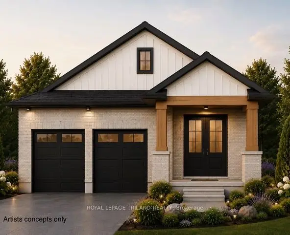
New
$749,800
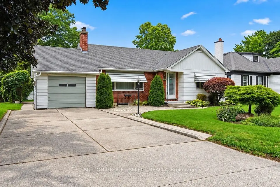
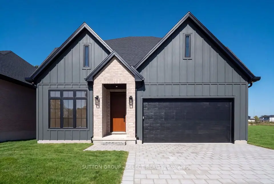
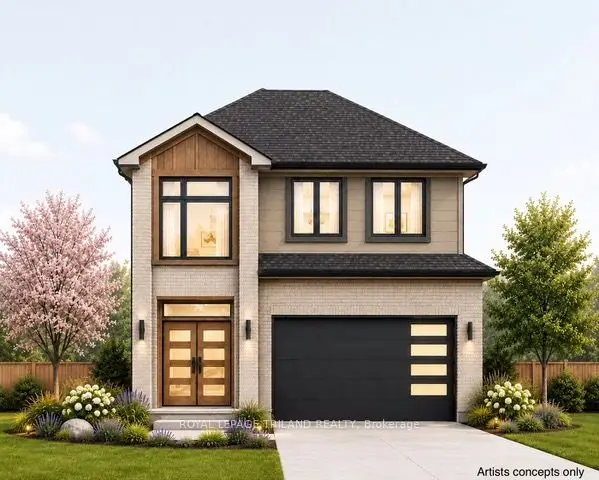
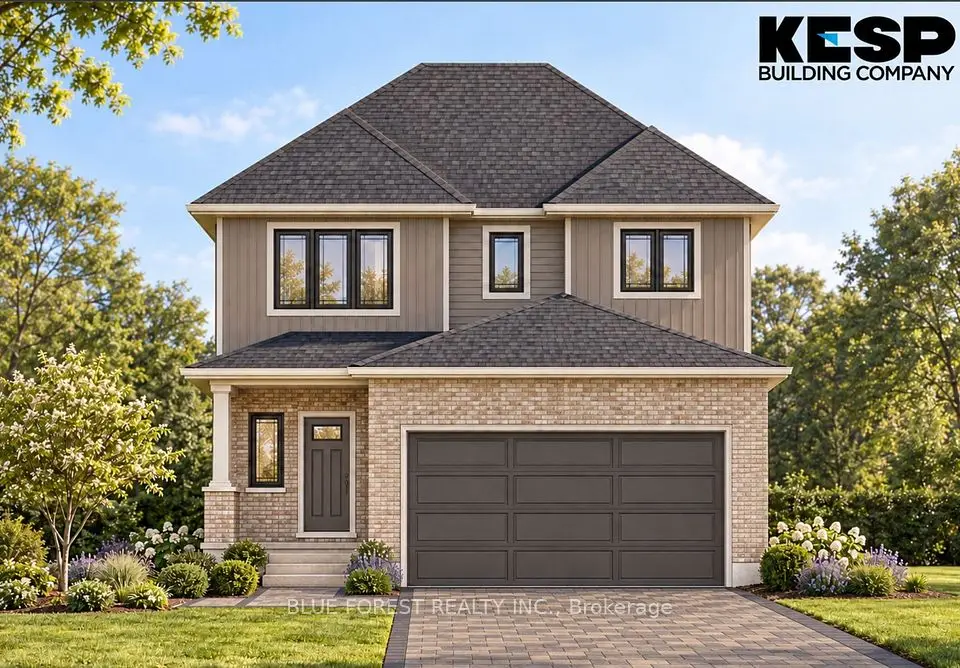
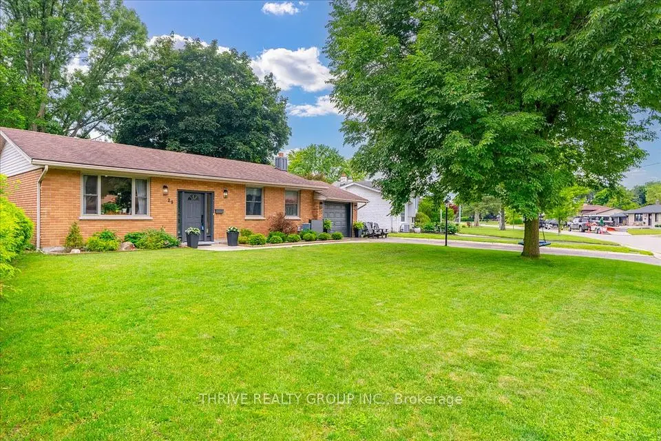
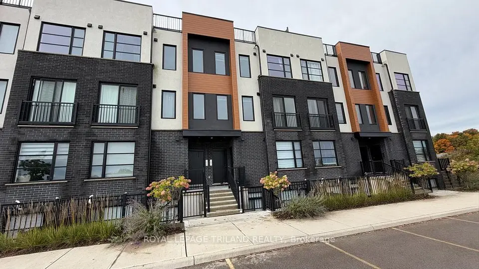
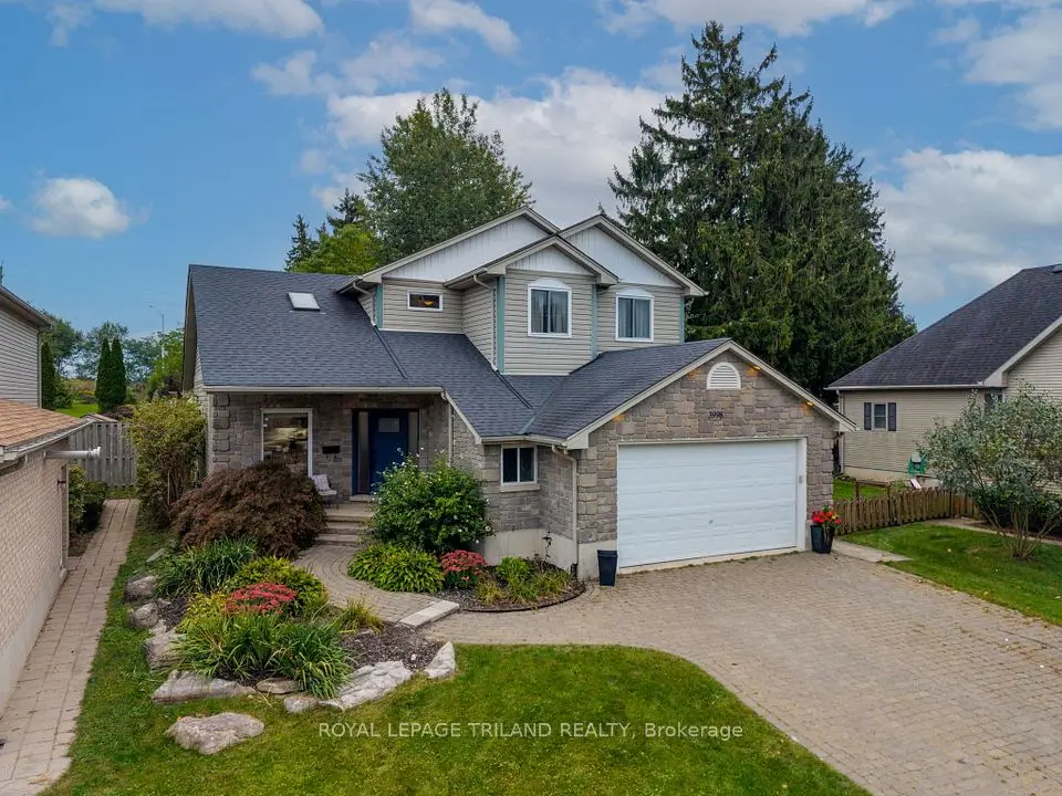
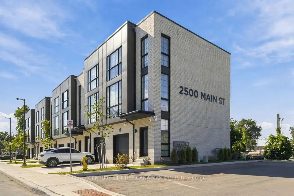
Showing 1-9 of 9 active listings
Browse Lambeth by home type
Listing data provided under copyright by the London and St. Thomas Association of REALTORS® and other participating boards via PropTx Amplify Syndication. Information is deemed reliable but not guaranteed accurate. Only active listings are shown.
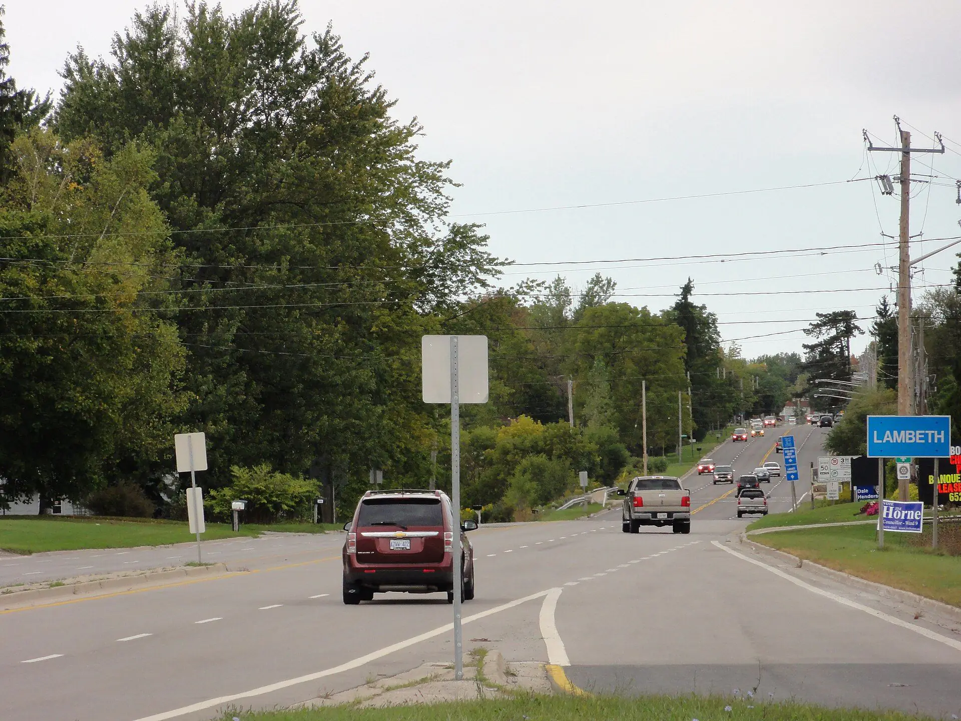
Lambeth started as a village, and it still has the main street to show for it. The City's Lambeth Area Community Improvement Plan describes a place that grew like other rural Ontario villages, as a compact, walkable community with a traditional main street along Main Street and Colonel Talbot Road. The village core runs along Main Street from Campbell Street to Colonel Talbot Road, then down Colonel Talbot Road to just south of Outer Drive, with small independent shops, restaurants, the post office, places of worship and banks. People consulted for that plan described it as a "real" village and a complete community.
Lambeth was a village in Westminster Township until 1993, when it came into London as part of the Westminster Township annexation. The City's Southwest Area Secondary Plan still calls it "the cornerstone of the community" with a "quaint village main street core", and The London Plan designates the north end of the core as a Main Street place type.
The improvement plan counts Harvest Fest events on Main Street among the things that keep the core busy.
Detached houses, almost exclusively. In 2016, 1,465 of Lambeth's 1,550 occupied homes (95%) were single-detached and 93% were owner-occupied, according to the City's neighbourhood profile. Semi-detached, row and apartment homes together made up fewer than 100 units. The population held steady between censuses: 4,165 in 1996 and 4,170 in 2016, with a median age of 44.8.
The improvement plan describes older buildings with distinctive architectural details in the village core, surrounded by established low-density residential areas, plus newer subdivisions spread through the area. On the map, the residential streets fan out east of Colonel Talbot Road: Sunray Avenue, Outer Drive, Scottsdale Street and Marianna Drive south of Main Street, and Beattie Street, Bakervilla Street, Red Thorne Avenue and Westpoint Heights to the north toward Wharncliffe Road South. Malpass Road, Masterson Circle and Kilbourne Road sit west of Colonel Talbot Road in the northwest corner.
The City's Lambeth planning district stretches from Highway 402 in the south up past Kilbourne Road. It takes in the village core on Main Street and Colonel Talbot Road, the subdivisions east toward Wharncliffe Road South and Bostwick Road, and a strip west of Colonel Talbot Road around Malpass Road. Farther west along Longwoods Road, the countryside falls into the City's Sharon Creek district, and to the north lies the much newer Talbot district with the Talbot Village subdivision.
The name "Lambeth" on a listing or a postal address can cover more ground than the planning district, so we check each property against the City's map when we compare homes.
Lambeth Public School, run by the Thames Valley District School Board, is on Duffield Street (6820 Duffield Street), a short walk from Main Street. Just north, in the Talbot district, the board runs White Pine Public School at 3370 Regiment Road for Kindergarten to Grade 8, and the French-language Conseil scolaire Viamonde runs École élémentaire La Pommeraie at 3500 Settlement Trail.
On the Catholic side, the London District Catholic School Board says St. George Catholic School, at 375 Lynden Crescent in west London, serves the communities of Byron and Lambeth. New subdivisions keep redrawing attendance areas in this corner of the city, so look up the exact address with the TVDSB and LDCSB locators rather than going by what a neighbour's children attend.
Much of Lambeth's recreation is in one place, 7112 Beattie Street. The Lambeth Community Centre there has a single-pad arena with public skating in winter and a dry pad in summer, a gym and two meeting rooms, and it shares the site with the London Public Library's Lambeth branch and Lambeth Centennial Park, which has a full soccer field, four mini fields, a spray pad, a walking trail and a boardwalk.
Dingman Creek is the area's main natural feature. The Southwest Area Plan describes it as a significant river and ravine corridor and a continuous wildlife linkage, largely natural except where farming, industry and the urban area of Lambeth have affected it, with sections susceptible to erosion. Greenhills Country Club marks the southern edge of the area the improvement plan covers.
The City's improvement plan lists closeness to Highways 401 and 402 as one of Lambeth's assets, and the map shows why. Highway 402 runs along the district's southern edge, with interchanges at Colonel Talbot Road (the former Highway 4 toward St. Thomas) and Wonderland Road, and the 402 joins Highway 401 a few kilometres east of Colonel Talbot Road. From the Lambeth library to central St. Thomas is about 17 km as the crow flies, and to Westmount Shopping Centre about 4 km.
London Transit buses serve Main Street; check LTC for routes and times.
Start with the creek. Dingman Creek and its tributaries run through and around Lambeth, and the Upper Thames River Conservation Authority regulates hazardous lands, river and stream valleys and wetlands under Ontario Regulation 41/24. Its online regulated area maps show whether a lot is affected, and the UTRCA offers a written property inquiry, for a fee, to purchasers and their lawyers or agents. Check them before you firm up an offer on a lot near the creek or plan an addition, pool or grading.
Then confirm servicing. The improvement plan noted that the lack of municipal sanitary services had been a barrier for development and small businesses in Lambeth, so ask whether the house is on municipal sewer or a private septic system. Ontario's Building Code governs septic systems; if the home has one, get the permit history and an inspection, and know what to add to your home inspection.
If you are selling a Lambeth house, start with a home evaluation from our team, and have the servicing and permit history ready, since careful buyers will ask for both.
Something else? Ask Rob or George directly.
In 1993. The City's Lambeth Area Community Improvement Plan says Lambeth was incorporated into London as part of the Westminster Township annexation, and Middlesex County's history confirms the village came in with the township.
No. It is a community and planning district within the City of London. The City's own plans still refer to the Lambeth Village Core when they describe Main Street and Colonel Talbot Road.
Very few. In 2016 about 95% of homes in the Lambeth district were single-detached, so most listings here are detached houses. If a townhouse is what you want, compare townhouses for sale across London.
Yes. The London Public Library's Lambeth branch is at 7112 Beattie Street, beside the Lambeth Community Centre and arena.
Yes. London Transit buses serve Main Street. Check LTC for routes and times before you plan a commute around them.
Byron sits north of Lambeth, beyond the Talbot district, and has more housing variety: about 76% of Byron homes were detached in 2016, against 95% in Lambeth. If you're weighing the two, look at Byron too, and at how both compare with the rest of London.
Call Rob or George directly, or send a message and one of them will get back to you. A home evaluation is free and prepared by a person, never a formula.