
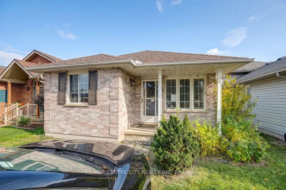
New
$474,900
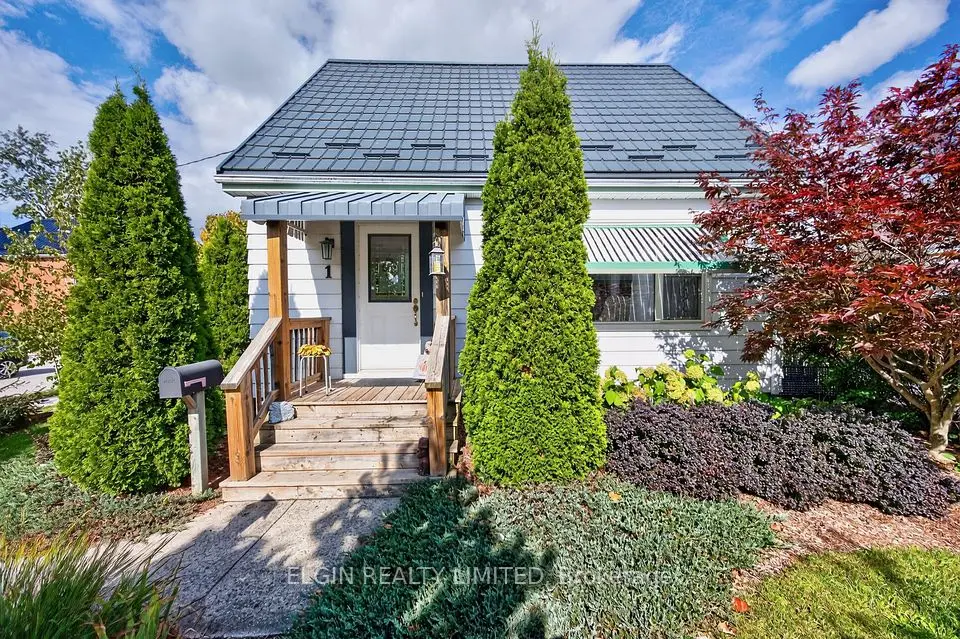
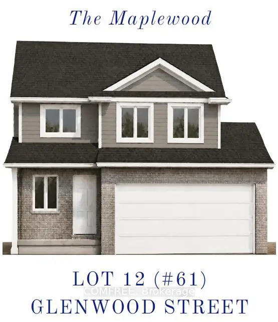
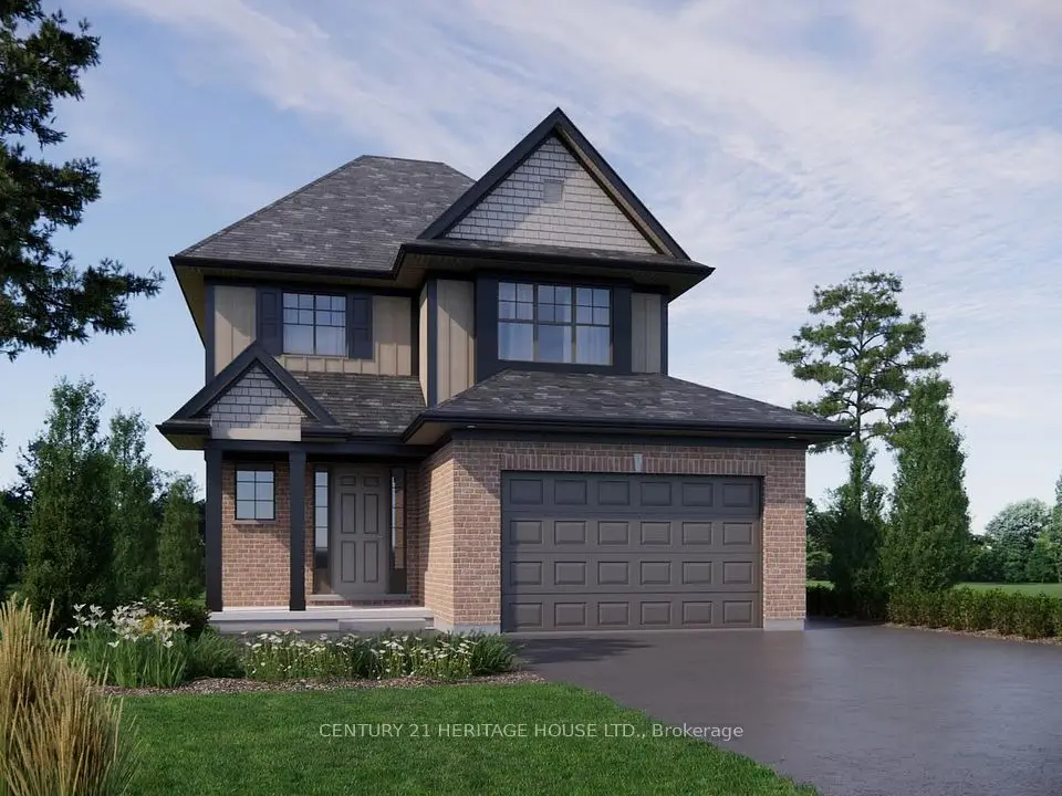
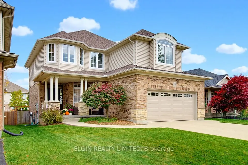
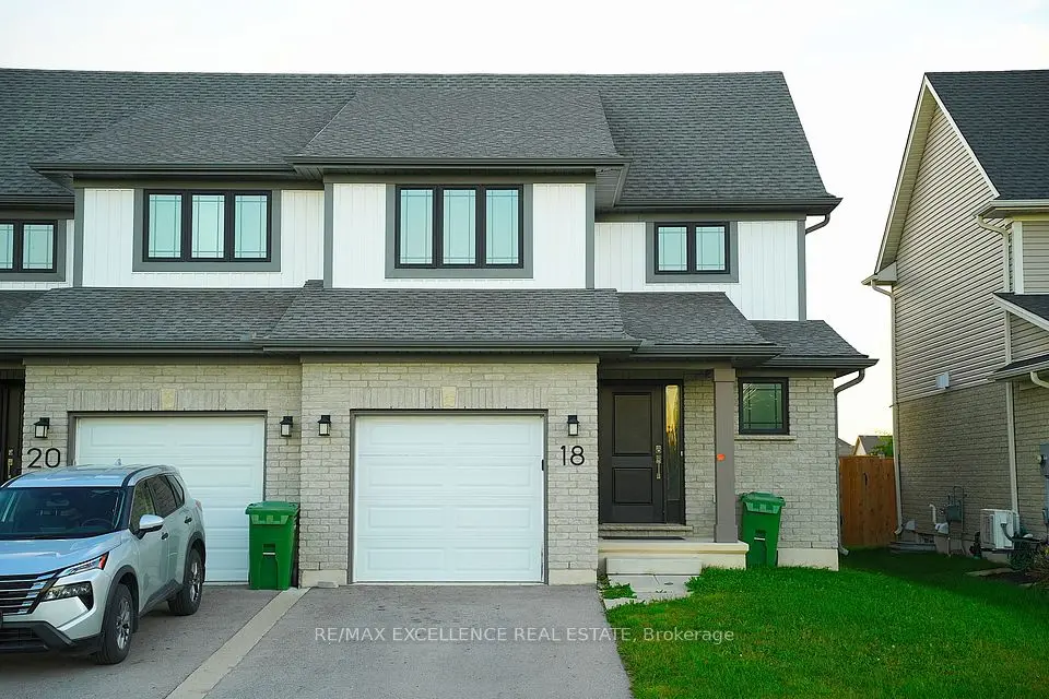
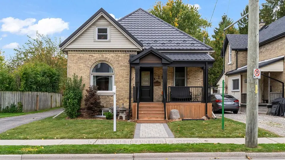
Showing 1-9 of 9 active listings
Browse St. Thomas by home type
Listing data provided under copyright by the London and St. Thomas Association of REALTORS® and other participating boards via PropTx Amplify Syndication. Information is deemed reliable but not guaranteed accurate. Only active listings are shown.
St. Thomas was first settled in 1810, took its name from Thomas Talbot, became the seat of the new Elgin County in 1844, and was incorporated as a village in 1852, a town in 1861 and a city in 1881. Sitting exactly halfway between Detroit and Buffalo, it grew into a railway junction: by 1914 eight different railways ran through town with more than 100 trains a day, which earned it the title Railway Capital of Canada.
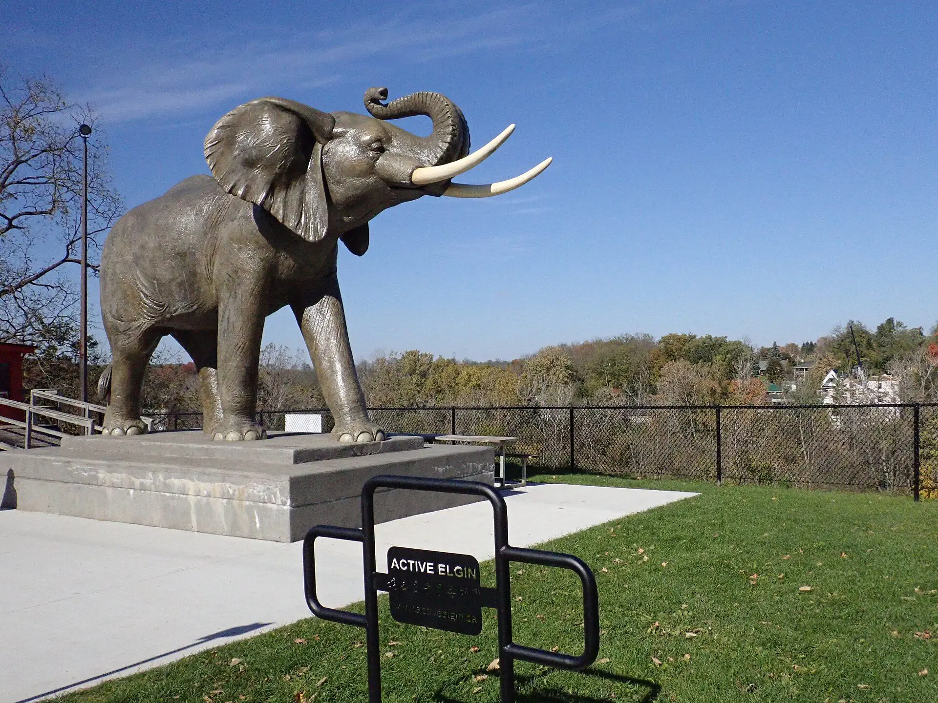
You can still read that story on Talbot Street. The Canada Southern Railway station at 750 Talbot Street (CASO Station) has been restored and now houses the North America Railway Hall of Fame. The station, the Elgin County Railway Museum and the Elevated Park work together as the Railworks Coalition. Further along Talbot Street, at number 65, stands the life-sized, 38-tonne Jumbo monument, raised in 1985 to mark 100 years since P.T. Barnum's famous elephant was struck by a locomotive here on September 15, 1885.
As rail declined in the 1950s and 1960s, auto plants run by Magna, Ford and Sterling Trucks carried the economy for about 50 years, until closures followed the 2008 recession.
Detached houses dominate. In the 2021 Census, 64.8% of occupied dwellings in the City of St. Thomas were single-detached houses, 16.1% were apartments in buildings under five storeys, 7.4% were semi-detached, 4.3% were apartments in taller buildings and 4.0% were row houses. About 67.8% of households owned their home and 32.2% rented, and only about 3.4% of dwellings were condominiums, so condo choice is narrow compared with London.
The age of the housing is telling. Roughly a third of homes (32.9%) were built in 1960 or earlier and another 24.8% between 1961 and 1980, so more than half the housing stock predates 1981. Newer supply has been steady rather than dominant: about 17.5% went up between 2001 and 2015 and 7.9% between 2016 and 2021, the same five years the population grew 10.1% to 42,840.
The municipal heritage register reads like a walking list of the city's older houses, with individual designations on Metcalfe Street, Wellington Street, William Street, Walnut Street, Church Street, Centre Street, St. George Street and Talbot Street. If an older house on those streets is what you are after, start with the houses for sale in St. Thomas and narrow them by age and style.
St. Thomas has a Heritage Conservation District under Part V of the Ontario Heritage Act, adopted with its district plan by By-law 100-2018 after the Downtown St. Thomas Heritage Area Study. The City publishes a separate Heritage Alteration Permit application for properties inside the district, so exterior changes there go through a heritage review on top of the usual building permit.
Individual properties are also designated under Part IV, from the CASO Station and the railway bridge over Kettle Creek to several Metcalfe Street houses; work on those needs a Designated Heritage Permit. Other properties are listed on the heritage register without being designated, so ask the City about an address before you plan major changes.
Four boards operate here. The Thames Valley District School Board runs the English public schools, including Central Elgin Collegiate Institute (201 Chestnut Street), Parkside Collegiate Institute (241 Sunset Drive) and Arthur Voaden Secondary School. TVDSB elementary schools in the city include Mitchell Hepburn (95 Raven Avenue), Forest Park (295 Forest Avenue), June Rose Callwood (84 Edward Street) and Pierre Elliott Trudeau French Immersion (112 Churchill Crescent).
The London District Catholic School Board lists St. Joseph's as its St. Thomas secondary school and Monsignor Morrison and St. Anne's as elementary schools. French-language public education comes from the Conseil scolaire Viamonde, so ask the board which of its schools serves a given address.
Boundaries shift as the city grows, so confirm the school for any specific address with each board's locator before you buy.
The City counts 43 parks over 700 acres. Pinafore Park covers 111 acres in the southwest, with a woodlot, the Lake Margaret addition and walking trails. Waterworks Park, at the northern city limits, has 100 acres of trails and naturalized land plus gardens, pavilions and a splash pad. A sports park in the northeast has 33 soccer fields and a turf field.
The signature spot is the St. Thomas Elevated Park on the 1929 Michigan Central Railroad bridge at the city's western edge, about 95 feet above the Kettle Creek valley. On Track St. Thomas bought the bridge and 4 km of rail corridor in 2013, opened the eastern third in 2017 as Canada's first elevated park, finished it end to end in 2019, and opened the Western Trail to Lyle Road in Southwold in 2020. Access is from King Street and Centre Street.
The Dan Patterson Conservation Area (44014 Mapleton Line), run by the conservation authority for Kettle Creek, adds shaded picnic ground, two looped trails and the restored log cabin of Alexander Patterson, who arrived from Scotland in 1834.
Highways 3 and 4 are the city's main road links, and Highway 4 is the route north toward London and Highways 401 and 402.
Inside the city, Railway City Transit runs local bus service; check the City's transit page for current routes and hours. The St. Thomas Municipal Airport, just east of the city in Central Elgin, handles general aviation only. For the numbers side of a move from London, we have compared the London and St. Thomas markets side by side.
St. Thomas Elgin General Hospital at 189 Elm Street serves the city and all seven municipalities of Elgin County. The St. Thomas Public Library is at 153 Curtis Street. City Hall is at 545 Talbot Street, in the middle of downtown.
St. Thomas is the site chosen for Volkswagen's PowerCo battery cell plant, in the Yarmouth Yards industrial park.
Our advice: treat the plant as a long-term employment story, not a reason to rush, and check PowerCo Canada and the City for current news on the project. If you already own here, a free home evaluation shows how your property compares with current listings.
A few local checks belong on every St. Thomas list.
If St. Thomas is close but not quite right, look at Port Stanley on the lake, Talbotville to the northwest or Belmont toward Highway 401.
Something else? Ask Rob or George directly.
The centre of St. Thomas is about 23 km as the crow flies from the Forks of the Thames in downtown London. Highway 4 is the direct road link north, and it also connects to Highways 401 and 402.
Yes. Railway City Transit runs local bus service. Check the City's transit page for current routes, hours and fares.
Not many. The 2021 Census counted 610 condominium dwellings out of about 18,060 occupied homes, roughly 3.4%. Most apartment living here is rental, so filter your search for condo ownership if that is what you need.
In the Yarmouth Yards industrial park, the site chosen for Volkswagen's PowerCo battery cell plant. Check PowerCo Canada and the City for current news on the project.
Call Rob or George directly, or send a message and one of them will get back to you. A home evaluation is free and prepared by a person, never a formula.