
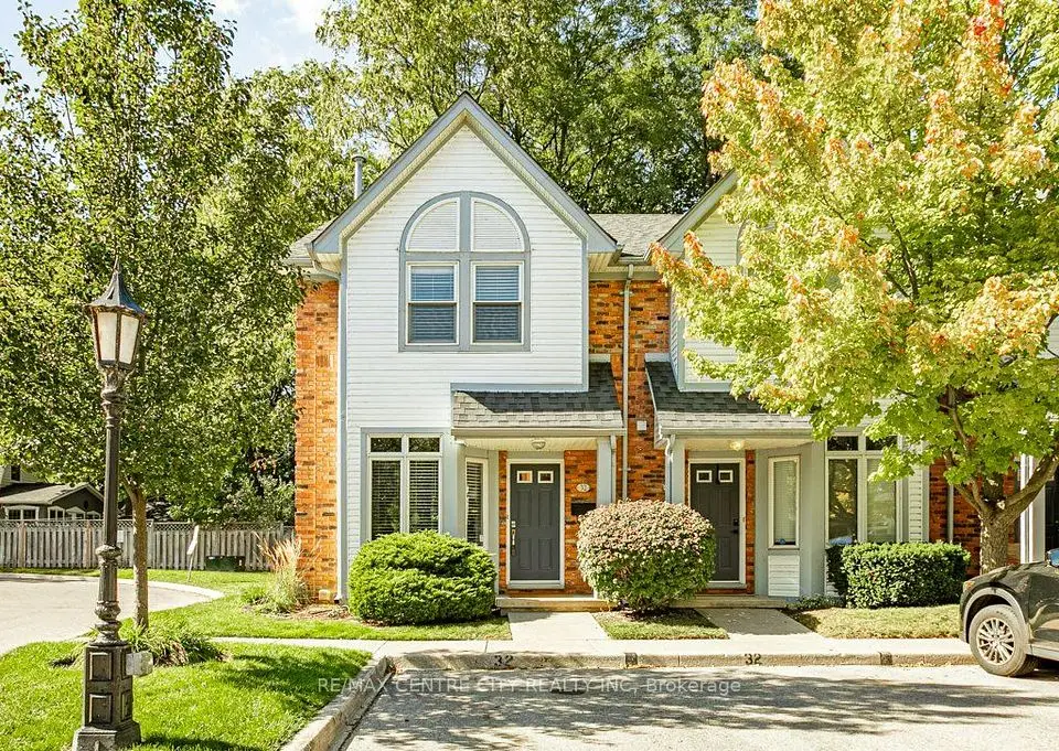
Open Sat, Oct 17, 2:00 pm
$439,000
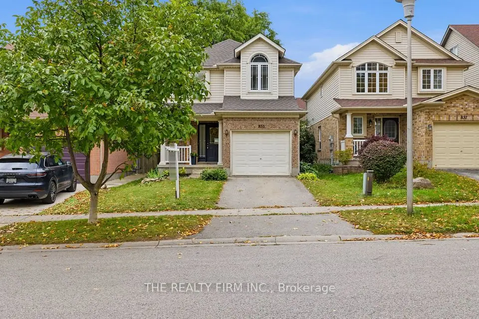
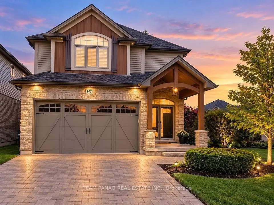
London, Vacant Land Condo
3+1 beds3 baths2,000-2,249 ft²
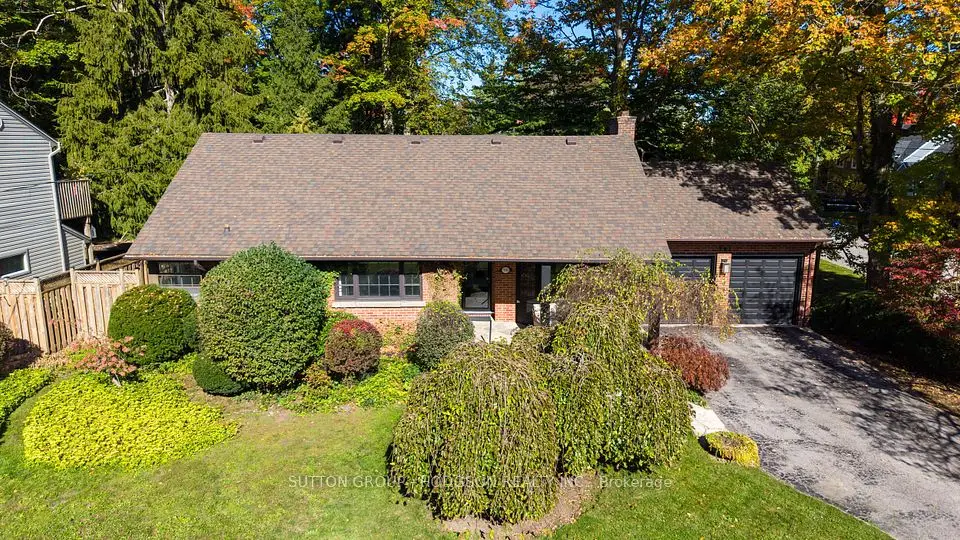
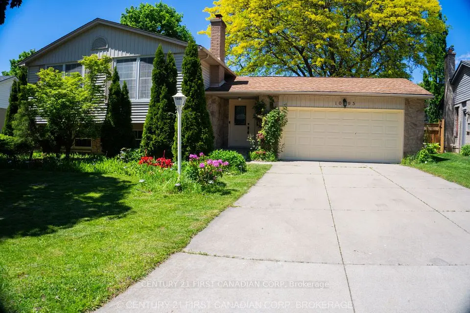
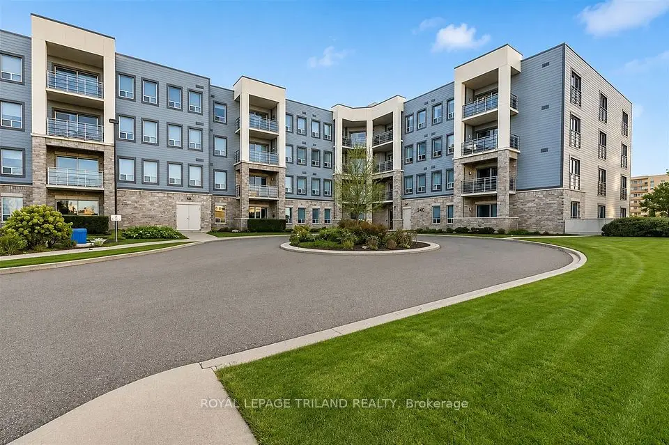
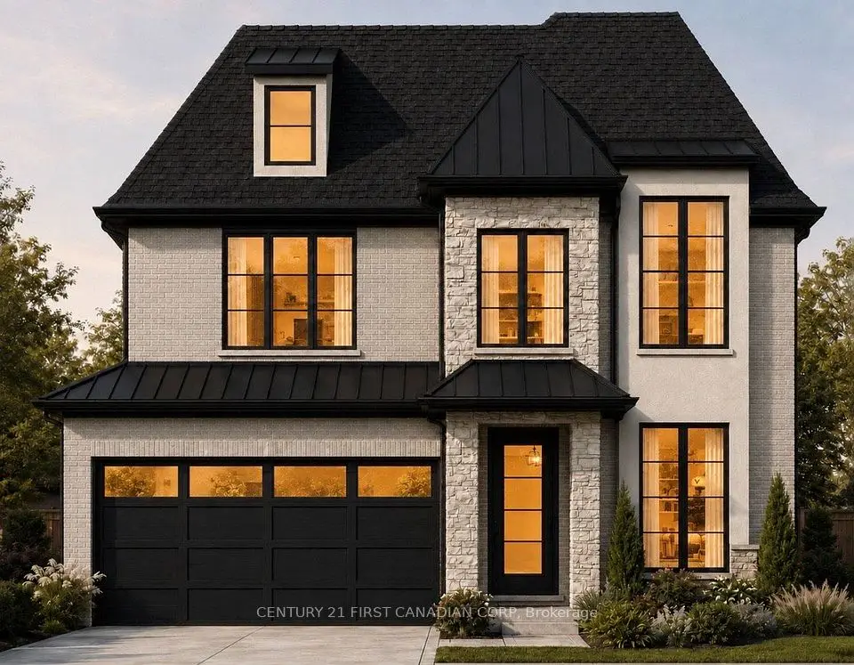
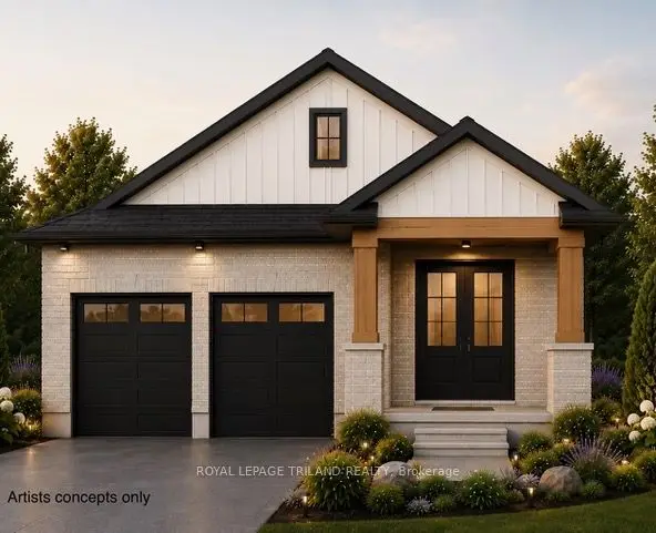
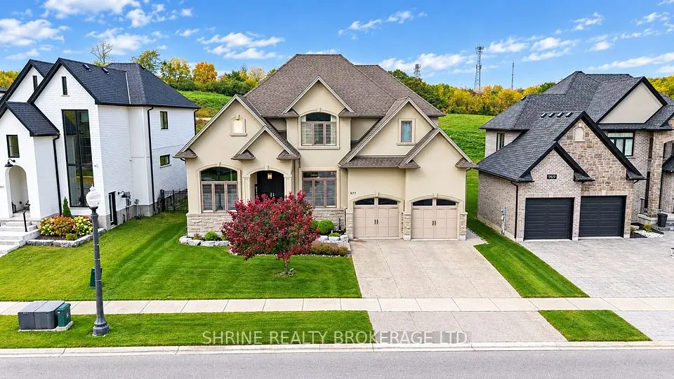
Showing 1-9 of 9 active listings
Browse West London by home type
Listing data provided under copyright by the London and St. Thomas Association of REALTORS® and other participating boards via PropTx Amplify Syndication. Information is deemed reliable but not guaranteed accurate. Only active listings are shown.
Because the real estate board does not use one. London listings are filed as London North, London South or London East, and west-end homes land in the first two depending on which side of the board's line they fall. That is why a search for west London listings can feel scattered.
So we define the west end plainly instead: 10 of the City's 42 planning districts on the west side of the city, which held 92,730 people at the 2016 Census. The homes we show you follow the City's district map, not the board's area names. Hyde Park also counts as part of the north end, and Westmount, Talbot and Lambeth as part of the south end, because they sit where the areas meet.
Moving outward from the Forks (2016 Census figures from the City's neighbourhood profiles):
The Thames does. The Thames Valley Parkway, 45 kilometres of paved path along the river's three branches, runs through Springbank Park, and three of the Main Streets The London Plan names (Byron, Hyde Park and Lambeth) are in this part of the city. Byron's Boler Mountain adds skiing and snowboarding in winter, inside the city limits.
Housing gets younger as you move away from the Forks. Close to the river, Blackfriars mixes the heritage district with apartment buildings; Oakridge and Byron are mostly detached houses in districts annexed in 1961; and Riverbend, Hyde Park and Talbot filled in mostly after 1996. If you want to get to know one district well first, start with Byron.
Woodhull and Sharon Creek are part of the City of London but had fewer than 700 residents each in 2016, almost all in detached houses. The London Plan's Urban Growth Boundary separates land planned for urban development from land kept for rural and agricultural use, so before you buy on the edge, check which side of it the lot falls on and what its place type allows, and near the river or a creek, look the lot up on UTRCA's regulation mapping, since building there can need the authority's permit. If Komoka is on your list too, see how Komoka and Kilworth compare.
Something else? Ask Rob or George directly.
No. The real estate board labels London homes as London North, London South or London East. West-end listings fall under North or South, which is why we group them by the City's planning districts instead.
The London Plan names Main Streets in Byron, Hyde Park and Lambeth. Blackfriars and Petersville, closest to downtown, has the west end's heritage conservation district.
Yes, especially close to downtown. Two-thirds of homes in the City's West London district (Blackfriars and Petersville) were in buildings of five or more storeys in 2016, and about a quarter in Westmount.
Yes. Woodhull and Sharon Creek are largely detached homes on the city's western edge; check the land's place type in The London Plan before planning any changes.
Call Rob or George directly, or send a message and one of them will get back to you. A home evaluation is free and prepared by a person, never a formula.