
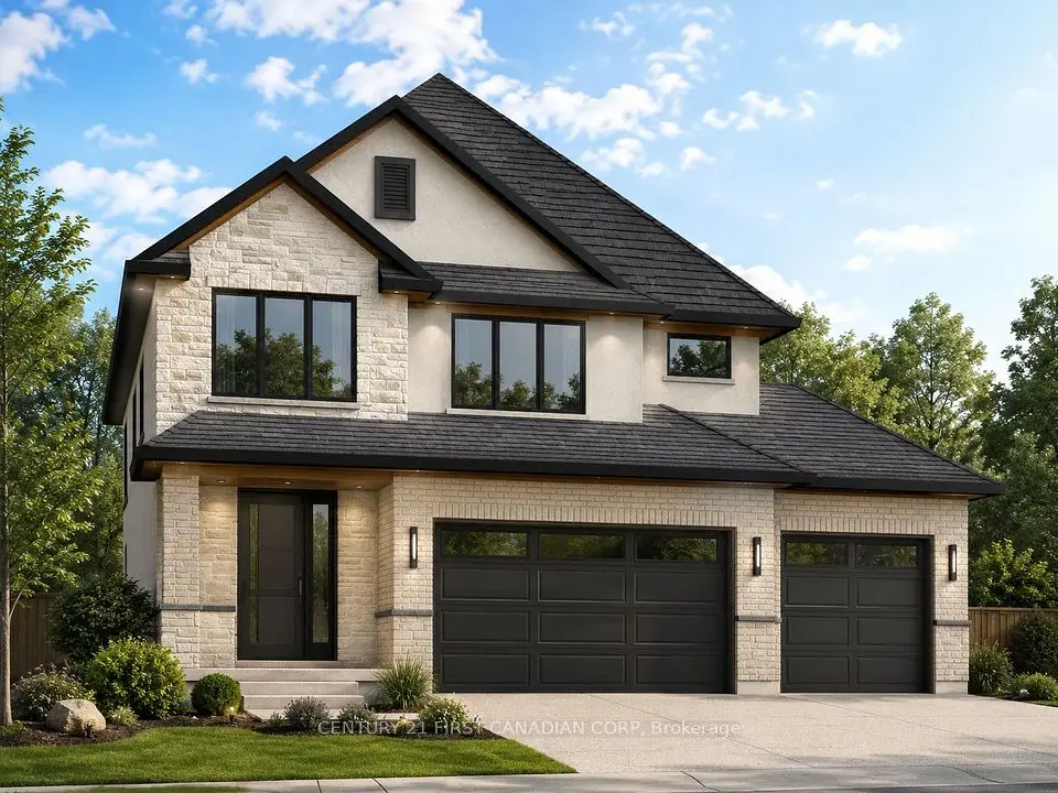
$1,338,815
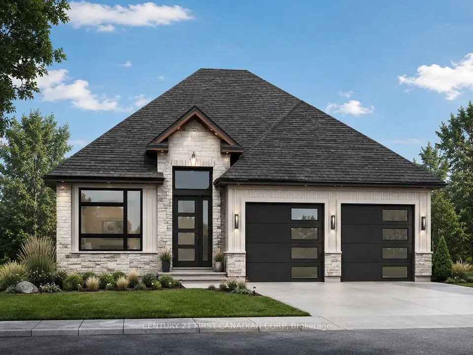
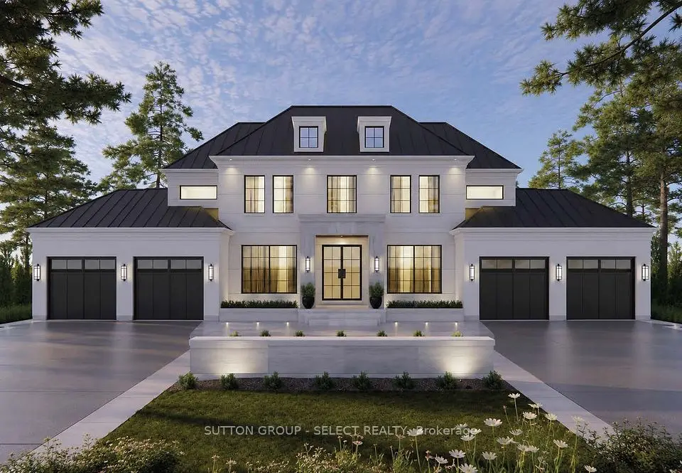
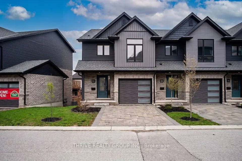
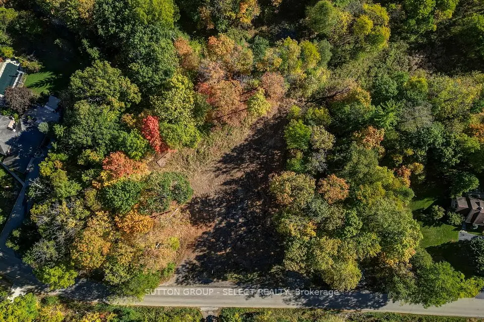
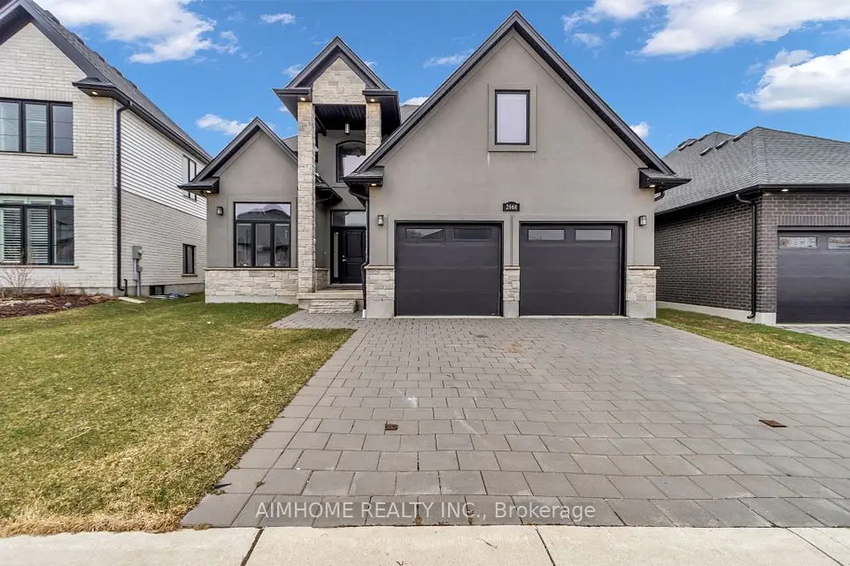
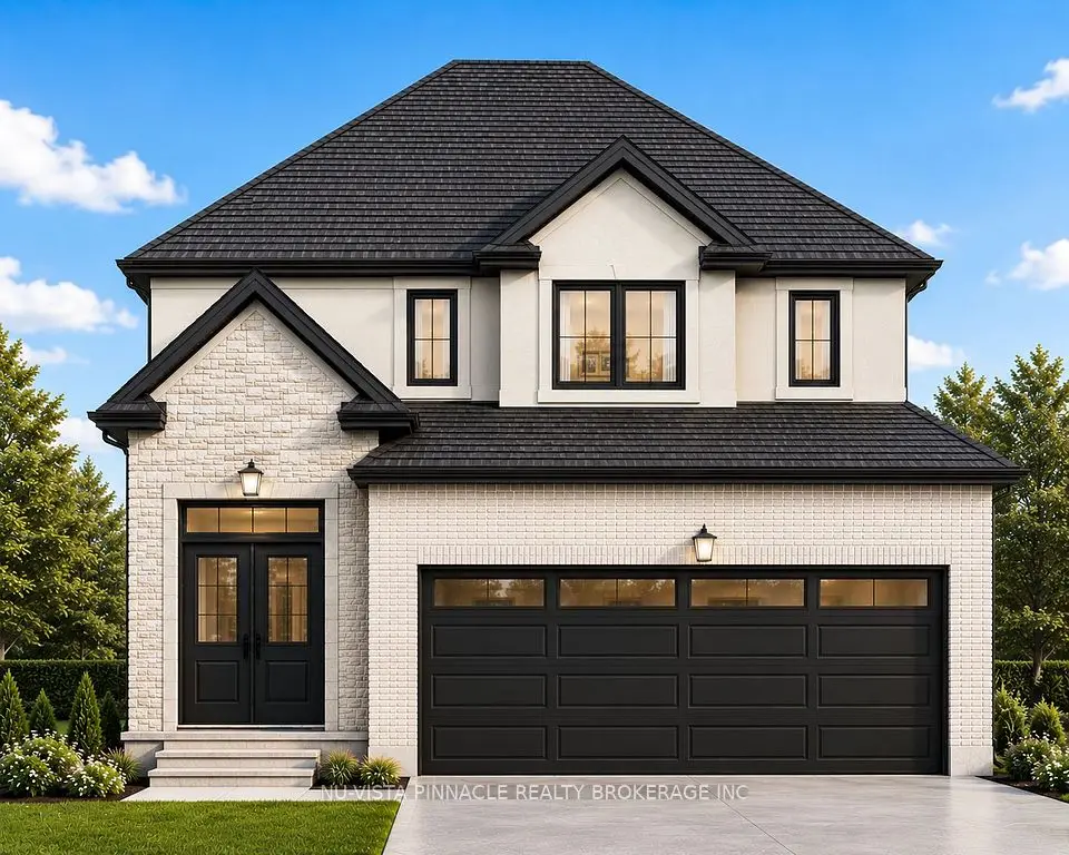
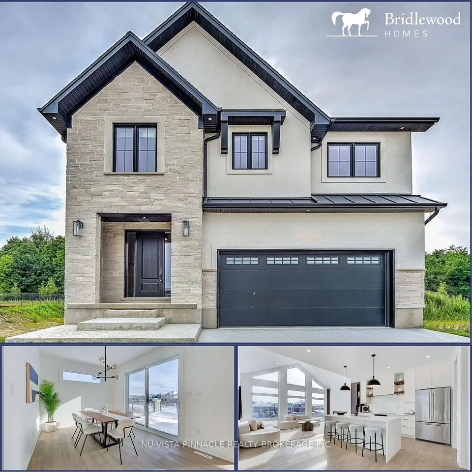
Showing 1-9 of 9 active listings
Browse Woodhull by home type
Listing data provided under copyright by the London and St. Thomas Association of REALTORS® and other participating boards via PropTx Amplify Syndication. Information is deemed reliable but not guaranteed accurate. Only active listings are shown.
Woodhull's western edge follows the Thames, which is also London's boundary there. Across the water is the Municipality of Middlesex Centre, the township that wraps around London's north and west sides and includes Komoka. Inside the city, Woodhull borders Riverbend to the north, Byron to the east and Sharon Creek and Talbot to the south.
Because it is largely open land, Woodhull feels different from the subdivisions next door. The main roads are Woodhull Road, Westdel Bourne, Byron Baseline Road, Kains Road and a stretch of Oxford Street West at the north end.
The district is small but has grown. The City's neighbourhood profile counted 80 residents in 1996, 310 in 2001, 475 in 2011 and 675 in 2016. Of the 220 occupied homes in 2016, 95% were single-detached houses and 93% were owned. Homes were large, averaging 9.2 rooms, and the median age of residents was 40.3, younger than in neighbouring Byron.
The north end meets suburban London. A City stormwater facility at 2615 Kains Road sits inside Woodhull, next to the Riverbend subdivisions. The district's own park land is modest: Woodhull Ravine is 5.5 hectares at 1940 Woodhull Road.
Families are served by the Thames Valley District School Board and the London District Catholic School Board, and the right school depends on the exact address, so check the board's school locator.
London Transit buses serve neighbouring Riverbend and Byron; check LTC for current routes and times.
Start with services. If a property draws water from a private well or uses a septic system instead of City water and sewer, look up the well record on Ontario's well records map, test the water (Ontario offers private well water testing through public health), and ask for the septic system's permit and pumping history; Ontario's Building Code governs septic systems and the owner is responsible for keeping one working.
The river valley and ravines along Woodhull's western side are the kind of land the Upper Thames River Conservation Authority regulates under Ontario Regulation 41/24, so confirm whether a lot is regulated before you plan a building, pool or grading change. You can also compare Woodhull with the rest of the city, especially the west-end subdivisions next door.
Something else? Ask Rob or George directly.
Yes. It is one of the City's planning districts, at the far western edge, with the Thames and Middlesex Centre beyond.
Some rural properties may be, but it varies by lot. Ask the seller, check the well records map and confirm with the City before you buy.
About 675 in 2016, up from 80 in 1996, according to the City's neighbourhood profile.
The City lists Woodhull Ravine, 5.5 hectares at 1940 Woodhull Road. For marked trails, Kains Woods ESA in Riverbend has 5.8 km along the Thames and Warbler Woods ESA has 5.4 km between Commissioners Road and Byron Baseline Road.
Riverbend adjoins Woodhull to the north and Byron to the east, both with schools, parks and LTC service.
Call Rob or George directly, or send a message and one of them will get back to you. A home evaluation is free and prepared by a person, never a formula.