
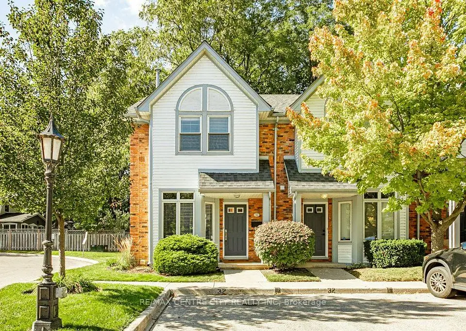
Open Sat, Oct 17, 2:00 pm
$439,000
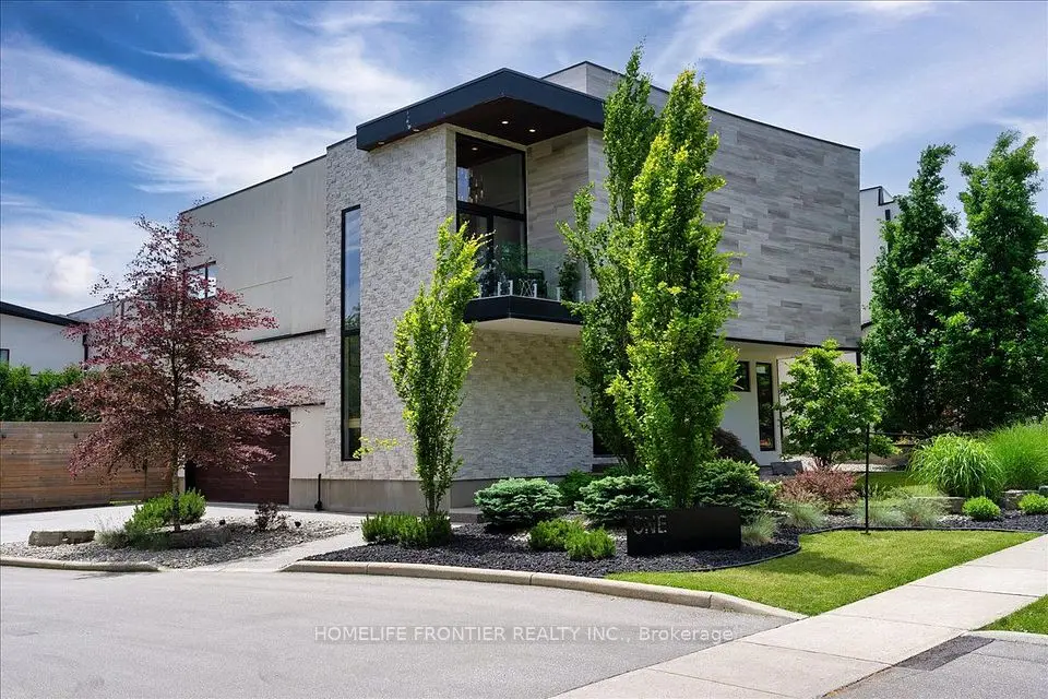
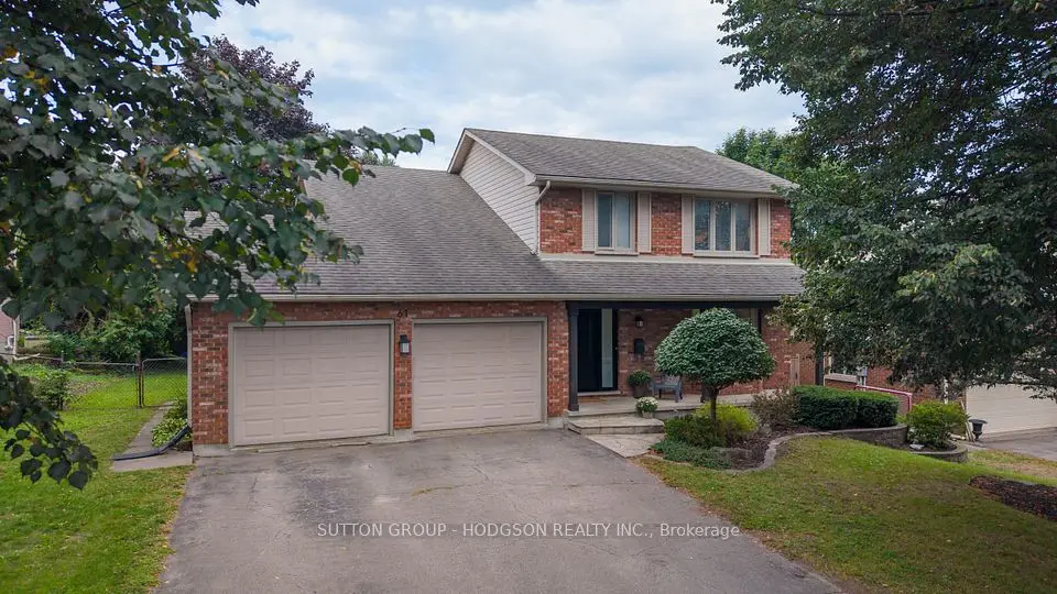
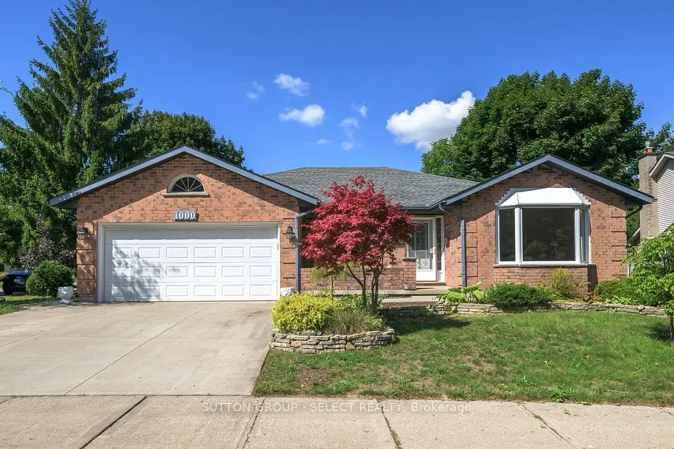
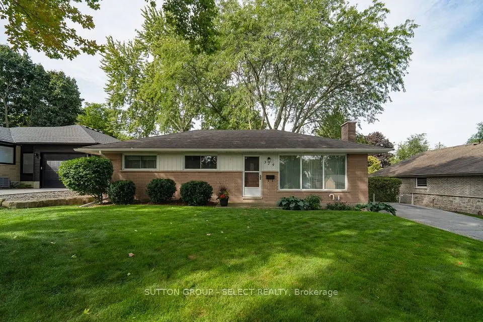
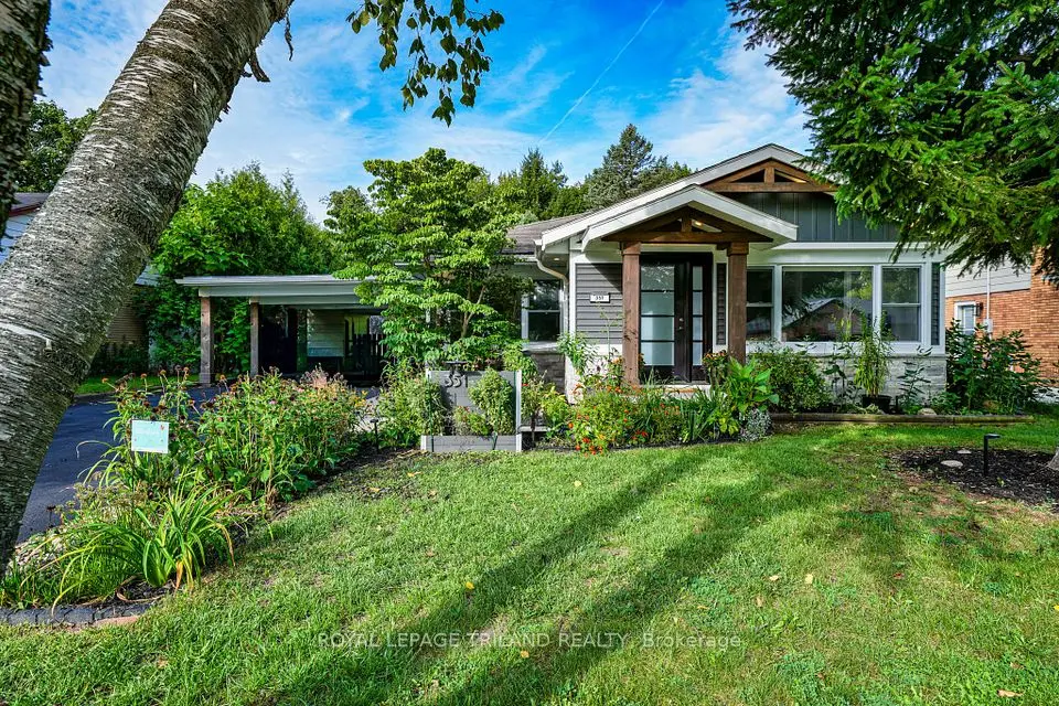
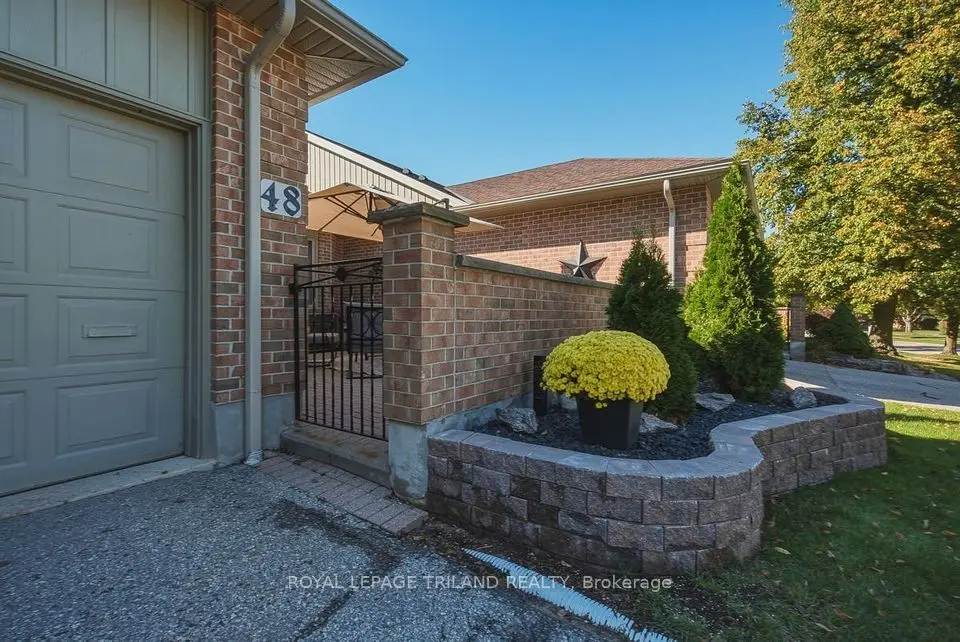
Showing 1-9 of 9 active listings
Browse Byron by home type
Listing data provided under copyright by the London and St. Thomas Association of REALTORS® and other participating boards via PropTx Amplify Syndication. Information is deemed reliable but not guaranteed accurate. Only active listings are shown.
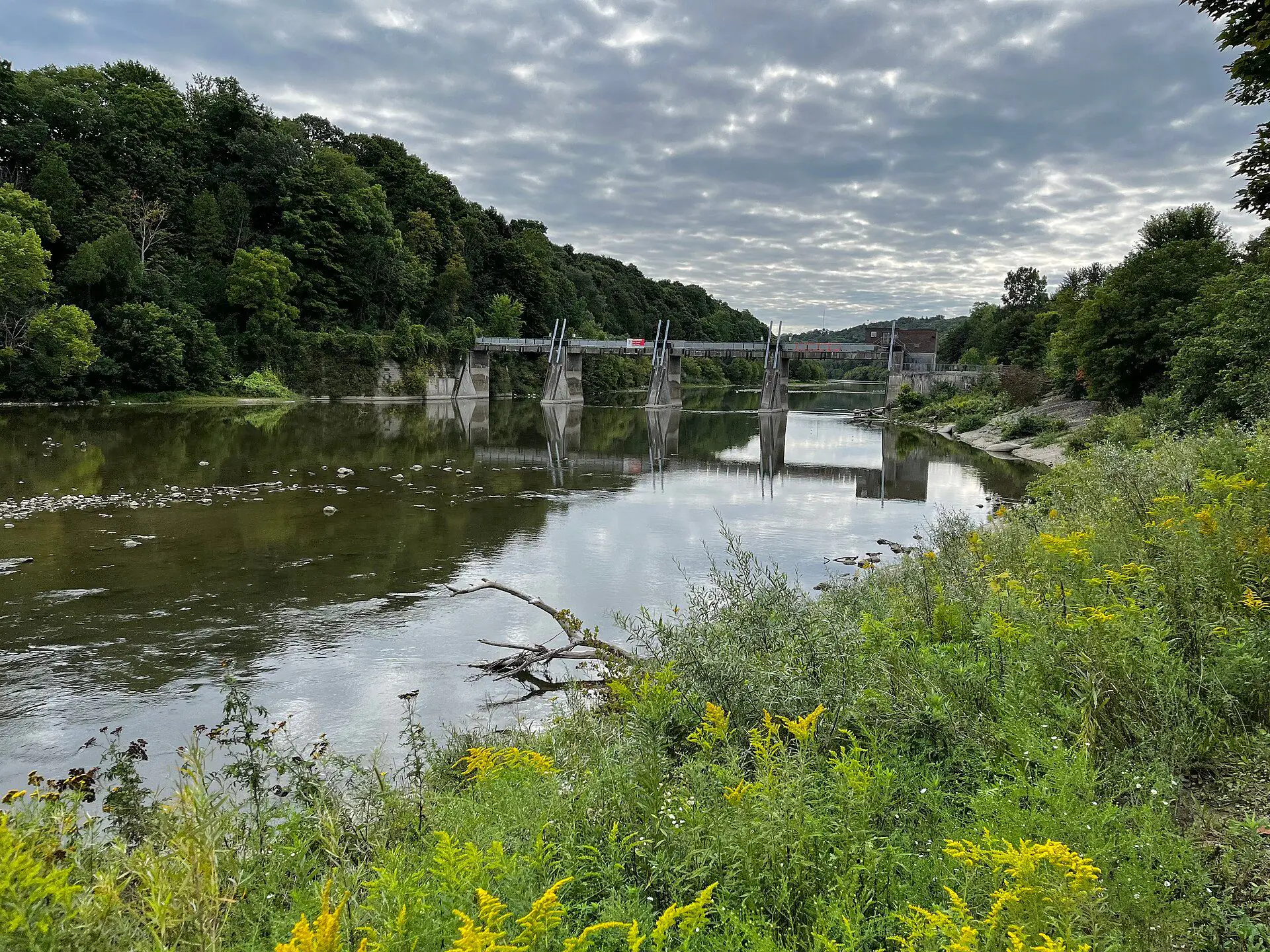
Byron started as a small settlement on the Thames. It went by Westminster, then by Hall's Mills after postmaster Charles Hall until 1857, and was finally renamed for the poet Lord Byron. You can still trace the mill era on the map: Halls Mill Road runs down to the river, and the City's Byron Valley Environmentally Significant Area protects 5.7 hectares of the valley between Halls Mill Road, Old Bridge Road and the Thames.
Community life was organized locally long before the city arrived. The Optimist Club of Byron was chartered in 1950 and built a youth centre on Norman Avenue in 1953, and that building and its pools passed to the City of London in 1961. London annexed Byron on March 7, 1961, part of the expansion that brought in Masonville, Westmount and Oakridge the same year, and large subdivisions followed.
The district has since settled into an established, family-owned place that is getting older. The City's neighbourhood profile counted 13,335 residents in 1996 and 15,360 in 2016, and residents aged 65 and over nearly doubled over those twenty years, from 1,650 to 3,135. The median age in 2016 was 44.4.
On the City's planning district map, Byron runs from the Thames in the north down to Southdale Road West, and from the Colonel Talbot Road area in the east to a little past Wickerson Road in the west. Across the river is Oakridge; to the east is Westmount; the Talbot district and rural Sharon Creek lie to the south, and Riverbend and Woodhull wrap around the west side. MLS® listings are filed under board area codes rather than City districts, so we always check a street against the map before calling it Byron.
One landmark people assume is in Byron is not: the Byron Gravel Pits, on the east side of Colonel Talbot Road south of Byron Baseline Road and Commissioners Road West, sit inside the Westmount district, immediately beside Byron, according to the City's secondary plan for the site.
Byron is overwhelmingly a house market. Of the 6,035 occupied dwellings in the 2016 Census, 76% were single-detached, 14% were row houses, 6% were in apartment buildings of five or more storeys and 4% were in low-rise apartments, with a handful of semis and duplexes. About 87% of homes were owned. The average home had close to eight rooms, which tells you most buyers here are looking at full family houses rather than starter units.
The 2021 Census adds the building dates. The two census tracts that sit wholly inside Byron, covering the district south of roughly Byron Baseline Road, had 9,811 residents and 3,310 occupied homes. About 6% of those homes were built in 1960 or earlier, 25% from 1961 to 1980, 26% from 1981 to 1990, 9% in the 1990s and 34% since 2001. Nine in ten were single-detached and 95% of households owned their home.
The southwest corner is the newest part of the district. The western tract grew from 6,125 residents in 2016 to 6,770 in 2021. In the south half, the schools sit on streets such as Whisperwood Avenue, Lola Street, Lynden Crescent and Fairlane Avenue, while Halls Mill Road, Old Bridge Road, Stephen Street and Woodbine Street ring the Byron Valley near the river.
Five elementary schools stand within the district. The Thames Valley District School Board runs Byron Northview Public School at 1370 Commissioners Road West (JK to Grade 8), Byron Southwood Public School at 1379 Lola Street and Byron Somerset Public School at 175 Whisperwood Avenue. The London District Catholic School Board runs St. George Catholic School at 375 Lynden Crescent and St. Theresa Catholic School at 108 Fairlane Avenue. St. Nicholas Catholic School is just over the line in Riverbend, at 1956 Shore Road.
There is no secondary school inside Byron itself. Oakridge Secondary School (TVDSB, 1040 Oxford Street West) and St. Thomas Aquinas Catholic Secondary School (LDCSB, 1360 Oxford Street West) are across the river in Oakridge. Boundaries are set by the boards and shift as the southwest grows, so confirm any address with the TVDSB and LDCSB school locators before you count on a school.
Springbank Park stretches along the south bank of the Thames, and going by the City's own maps, roughly two thirds of the park, including Storybook Gardens, falls inside Byron, with the rest in Westmount. Storybook Gardens opened in 1958 at 1958 Storybook Lane, with a splash pad and play structures in summer and a skating trail in winter. The park also holds Springbank Gardens and the Graham Arboretum.
The Thames Valley Parkway, the City's 45-kilometre paved riverside path, follows the river west from the Forks through Springbank Park. Its West branch passes the 8-kilometre marker inside Byron, so you can walk or cycle downtown along the river.
At the other end of the district is Boler Mountain. Its story starts in 1946, when a group of skiers gathered on Reservoir Hill. They incorporated as the London Ski Club in 1949, the club was nicknamed Boler Mountain from that year, and the name became official in 2010. Today it runs skiing, snowboarding and a tube park in winter, and a Treetop Adventure Park and mountain biking trails in the warmer months.
Commissioners Road West is the district's main street in practice. The London Public Library's Byron branch is at 1295 Commissioners Road West, on the same stretch as Byron Northview school, and the Byron Optimist Community Centre at 1306 Norman Avenue has a gym set up for basketball, volleyball and pickleball, and a dividable multipurpose room with a kitchen.
Boler Road is the north-south spine, linking Commissioners Road, Byron Baseline Road and Southdale Road West, with the sports complex and Boler Mountain close by. Westmount Shopping Centre and the StarTech.com Community Centre on Southdale Road are in the next district east, beyond Colonel Talbot Road.
London Transit buses serve Commissioners Road West, Boler Road and Byron Baseline Road; check LTC for routes and times.
There is no 400-series highway in the district. Highway 402's interchanges at Colonel Talbot Road (exit 98) and Wonderland Road (exit 100) are to the south, past Lambeth.
Many Byron lots back onto the Thames valley, the Byron Valley or ravines around Warbler Woods. Development in river and stream valleys, floodplains and wetlands needs a permit from the Upper Thames River Conservation Authority under Ontario Regulation 41/24, so check whether a lot is regulated before you plan an addition, pool or new fence line. Selling a Byron home to buy another? We'll price it for you in a home evaluation done by a person, not an algorithm, and show you how the rest of London compares.
Something else? Ask Rob or George directly.
No. Byron was annexed by the City of London on March 7, 1961, and today it is one of the City's planning districts. The name stays in everyday use for schools, the library branch and the community centre.
Partly. About two thirds of the park, including Storybook Gardens, lies inside the Byron planning district and the rest is in Westmount. Oakridge faces it across the river.
There is no secondary school inside the district. Oakridge Secondary School (TVDSB) and St. Thomas Aquinas Catholic Secondary School (LDCSB) are across the Thames on Oxford Street West. Use each board's school locator to confirm the school for a specific address.
Yes. London Transit buses serve Commissioners Road West and the main roads through Byron. Check LTC for routes and times.
Some. In 2016, 14% of Byron's homes were row houses and about 10% were apartments. If you want more choice, compare the district with condos for sale across London.
Call Rob or George directly, or send a message and one of them will get back to you. A home evaluation is free and prepared by a person, never a formula.