
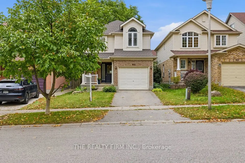
Open Sun, Oct 18, 2:00 pm
$624,900
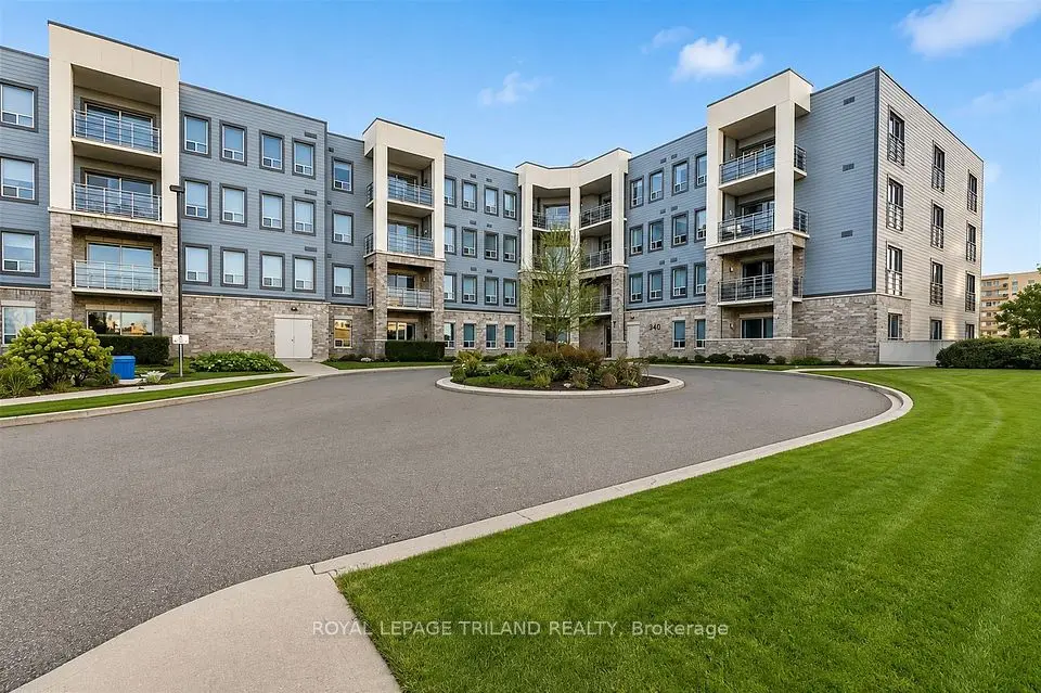
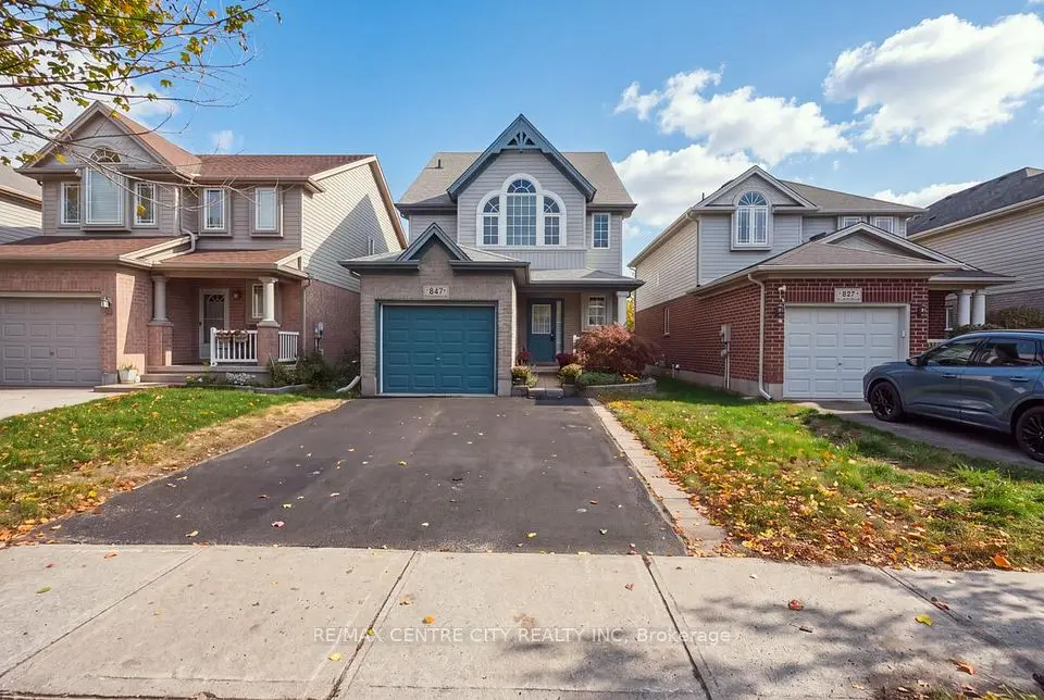
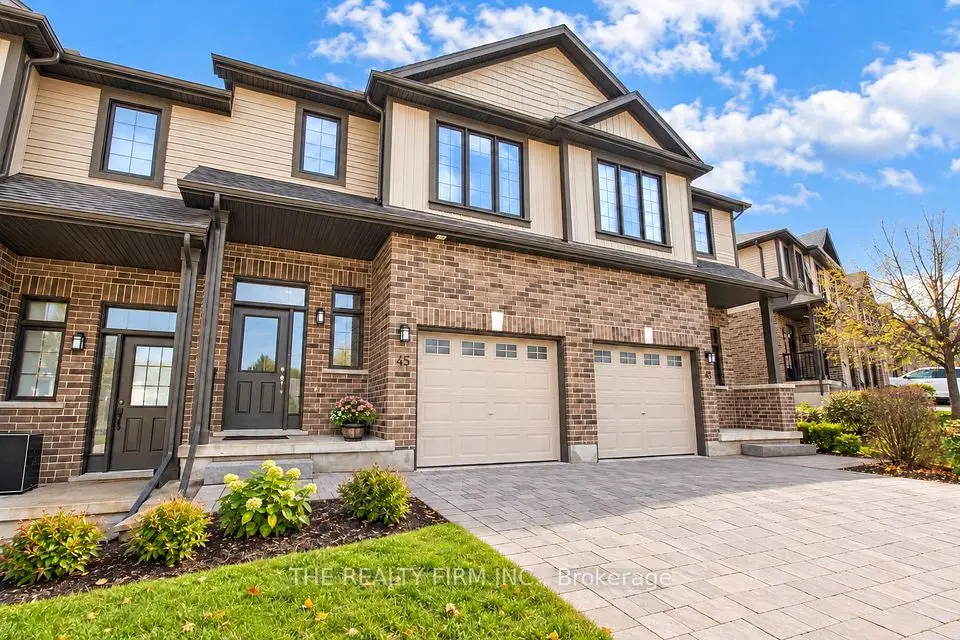
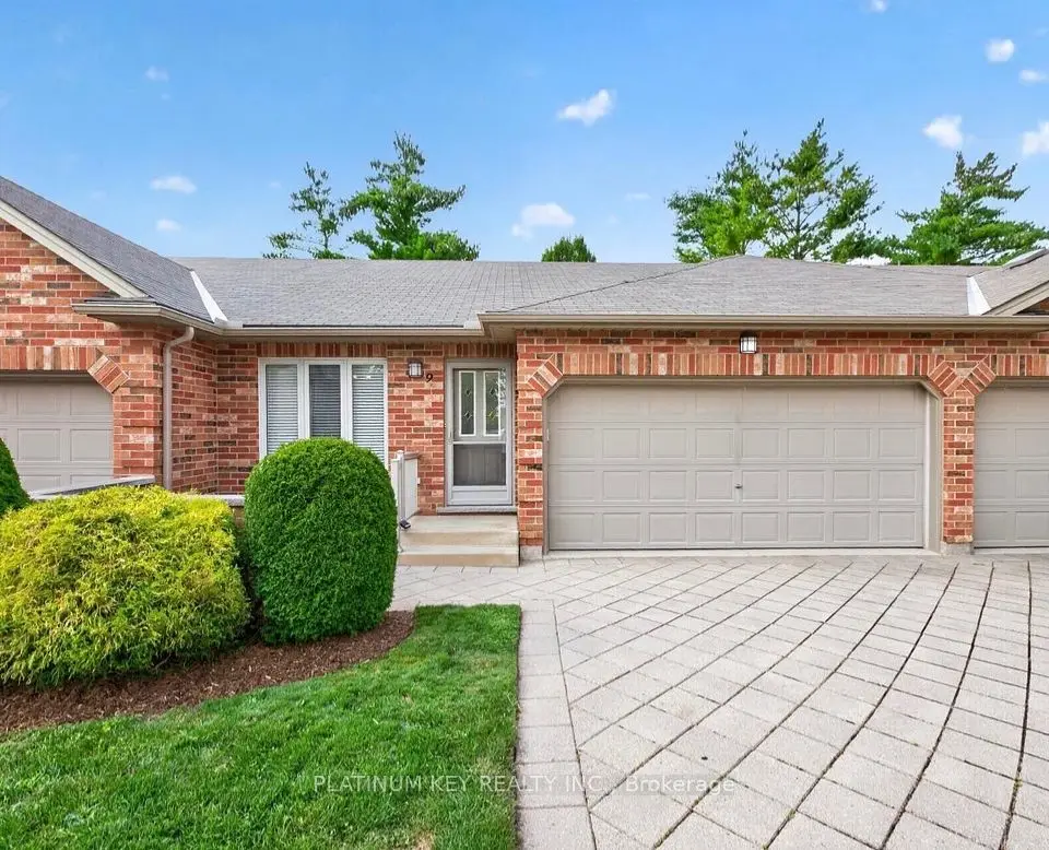
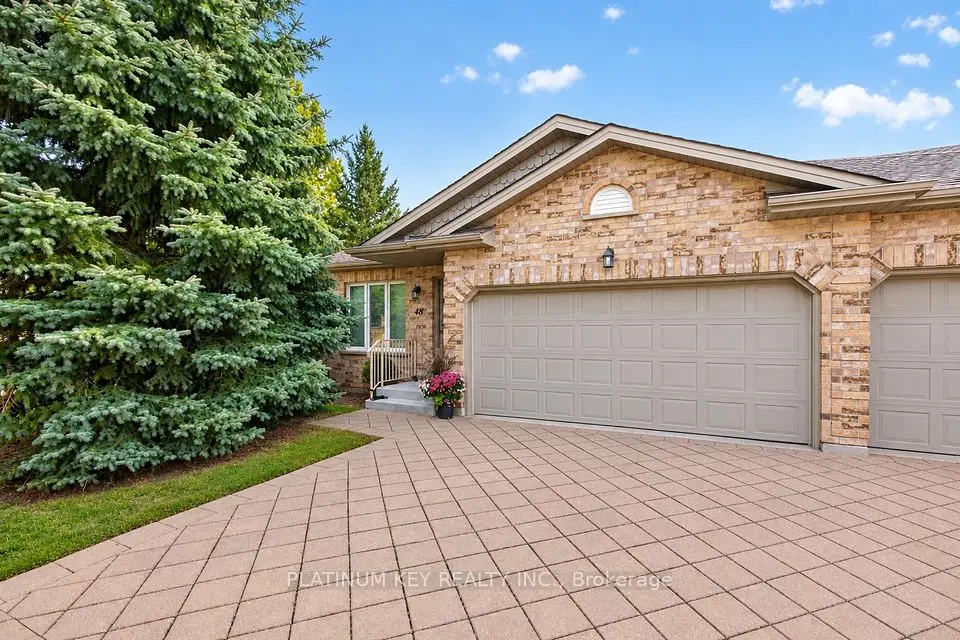
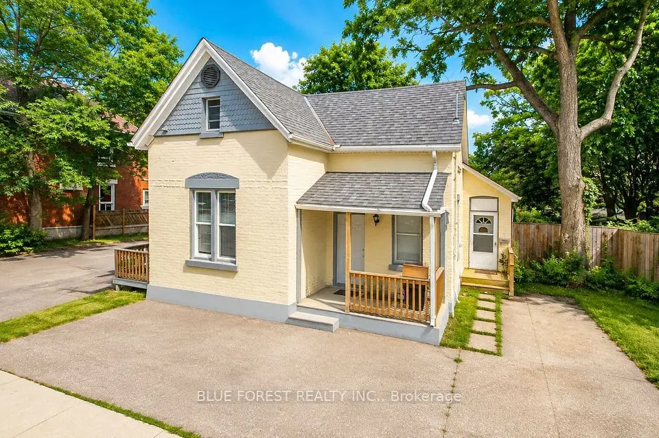
Showing 1-9 of 9 active listings
Browse Blackfriars and Petersville by home type
Listing data provided under copyright by the London and St. Thomas Association of REALTORS® and other participating boards via PropTx Amplify Syndication. Information is deemed reliable but not guaranteed accurate. Only active listings are shown.
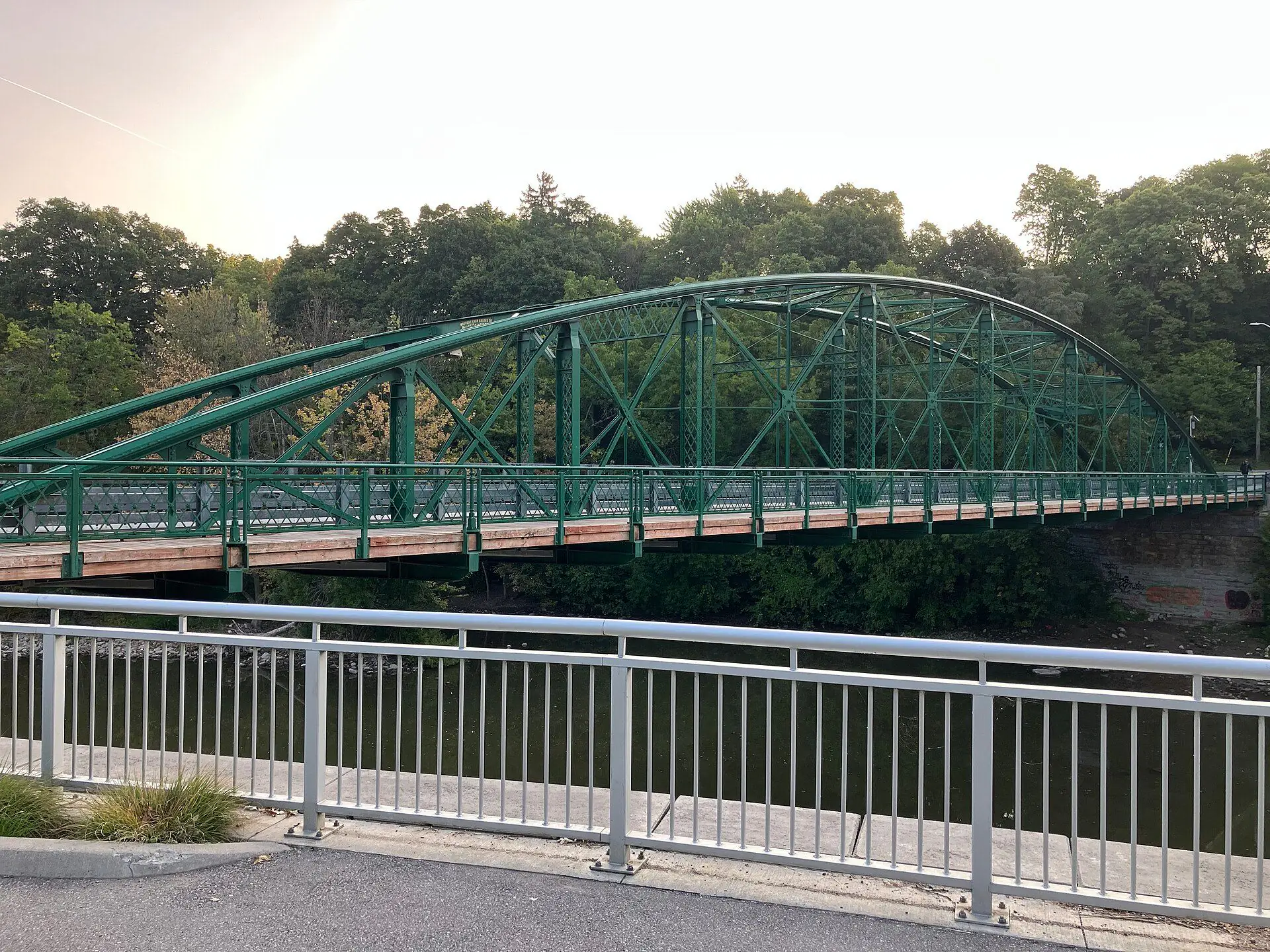
Blackfriars Bridge, built in 1875 and restored by the City in 2017, was the old crossing from the town to its western suburbs. On the far bank, Petersville joined with the Kensington subdivision to incorporate in 1874, renamed itself London West in 1880 and voted to join London in 1897, largely because of repeated flooding. The City's heritage plan describes an area settled by working-class families on small lots close to the river, whose cottages survived the floods of 1883 and 1937.
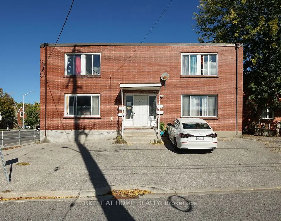
More than the heritage streets. The Upper Thames River Conservation Authority names Blackfriars, Petersville and Cavendish as the floodplain neighbourhoods behind the dyke. West of Wharncliffe Road it takes in the streets along Oxford Street West and Riverside Drive, including the apartment areas around Cherryhill, Proudfoot Lane, Beaverbrook Avenue and Capulet Lane. That mix is why the 2016 census profile looks nothing like a cottage district: 67% of occupied dwellings were in buildings of five or more storeys, 19% were single-detached houses and 5% row houses, and 76% of households rented.
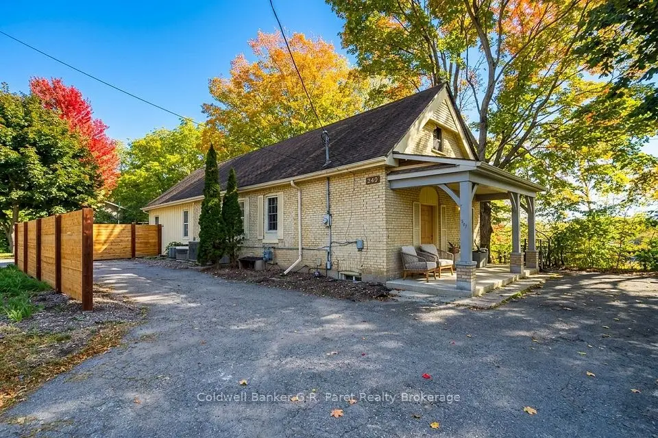
The Blackfriars-Petersville Heritage Conservation District runs from the Thames on the east and south to Oxford Street West on the north, with Wharncliffe Road North as its western edge. Council adopted it on May 6, 2014 and it was designated on May 15, 2015. Its plan describes one- and one-and-a-half-storey Ontario cottages built mostly from the 1880s to the 1930s, with buff brick, keyhole windows, coloured glass transoms and London doors on narrow streets that end in views of the dyke. The plan says low-rise residential zones (R2 and R3) cover most of the district.
Under the plan's permit table, interior work needs no permit, and replacing windows, doors or siding with the same material and design needs none, but different materials on a contributing building do. New or bigger parking areas, especially in a front yard, need a permit on every property. Here's how buying in a London heritage district works, step by step.
The West London Dyke, the first of the City's seven dykes, was started in the late 1880s and now runs 2,374 metres along the west bank of the North Thames from Oxford Street to the Forks. UTRCA says it protects about 1,200 structures to just below the Regulatory Flood level, which is based on the April 1937 flood, and its reconstruction began in 2007. The heritage plan notes the district sits in the regulatory floodplain, where new development needs UTRCA approval.
The Thames Valley District School Board runs Jeanne Sauvé French Immersion Public School at 215 Wharncliffe Road North, the former Empress Avenue School named in the heritage plan, and Eagle Heights Public School at 284 Oxford Street West. Confirm the school for any address with the TVDSB and LDCSB locators.
Labatt Park at 25 Wilson Avenue, which the heritage plan calls one of the oldest continually operating baseball grounds in the world, anchors the south end. The Kinsmen Recreation Centre at 20 Granville Street has two ice pads, and the Cherryhill Library is at 301 Oxford Street West. From Blackfriars Bridge, Harris Park and the Thames Valley Parkway are just across the river and Covent Garden Market in downtown London is less than 1 km away. London Transit buses run on Wharncliffe Road North, Riverside Drive and Oxford Street West; check LTC for routes and times.
Something else? Ask Rob or George directly.
The City's heritage plan says the district is within the regulatory floodplain, protected by the West London Dyke. Check UTRCA regulation mapping and your insurer for the specific address.
Local history credits Squire Peters of Grosvenor Lodge. The village later became London West before joining London in 1897.
Not without approval. The heritage plan requires a Heritage Alteration Permit for new or expanded parking areas, especially in front yards, on every property in the district.
No. In the 2016 census profile two-thirds of dwellings were in buildings of five or more storeys, so the heritage district's cottages are a small share of the district's housing.
Call Rob or George directly, or send a message and one of them will get back to you. A home evaluation is free and prepared by a person, never a formula.