
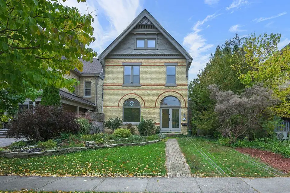
New
$749,000
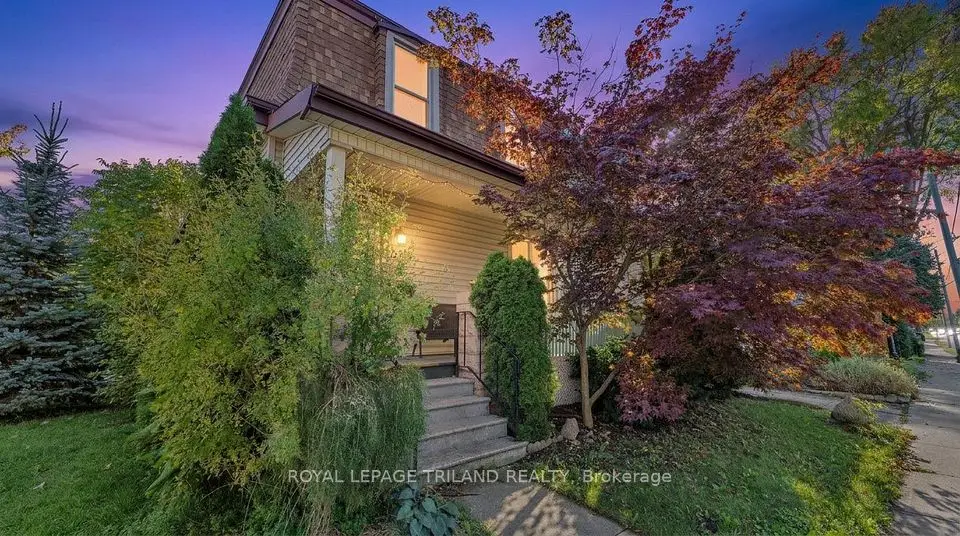
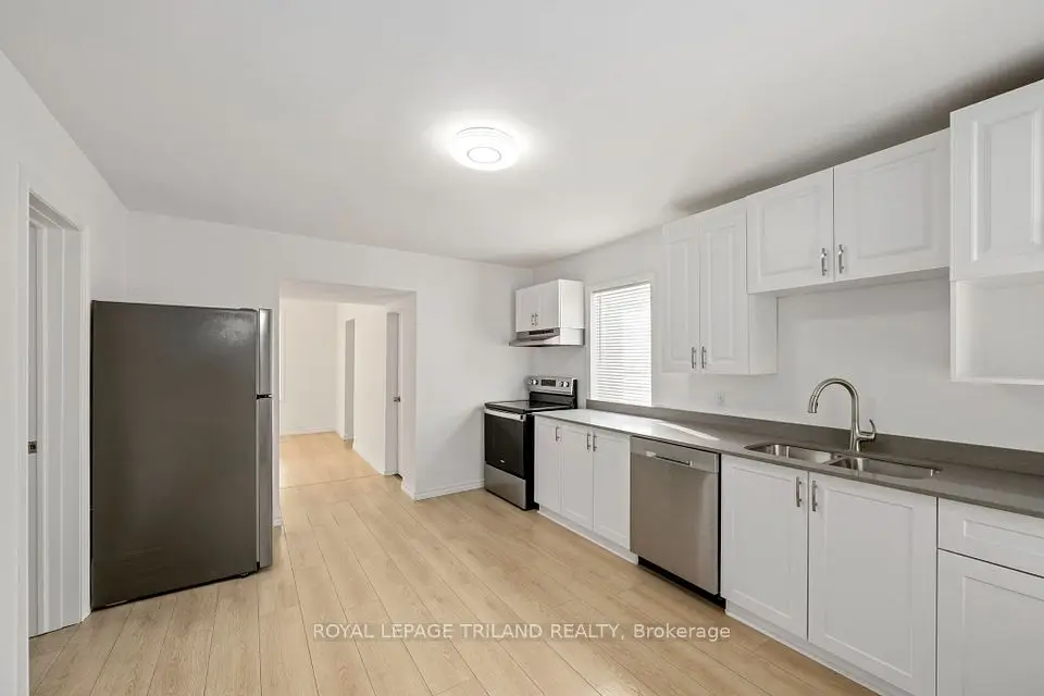
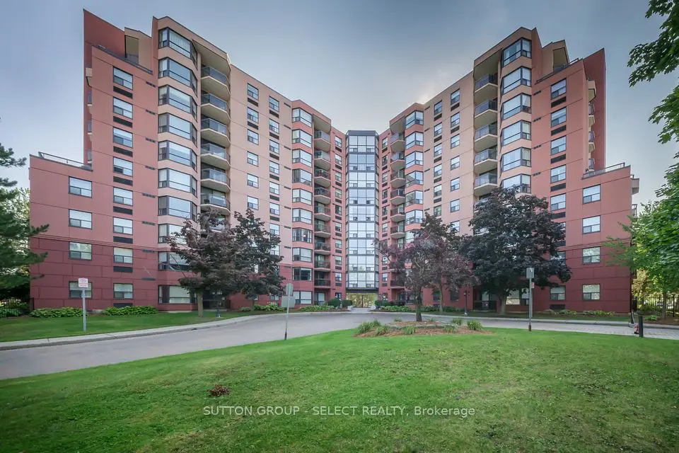
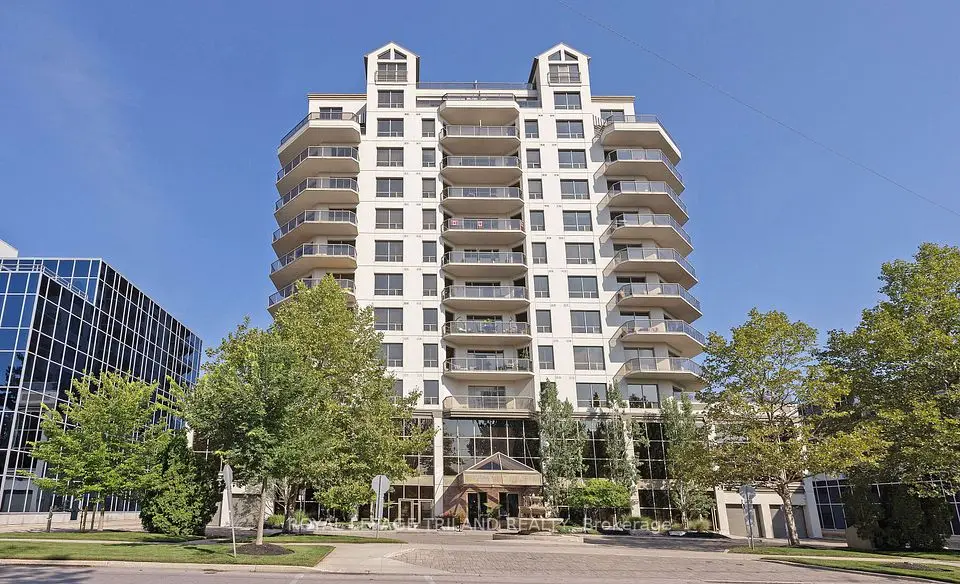
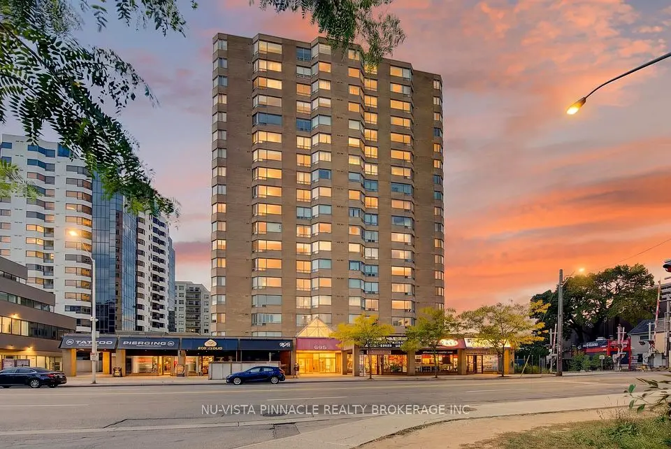
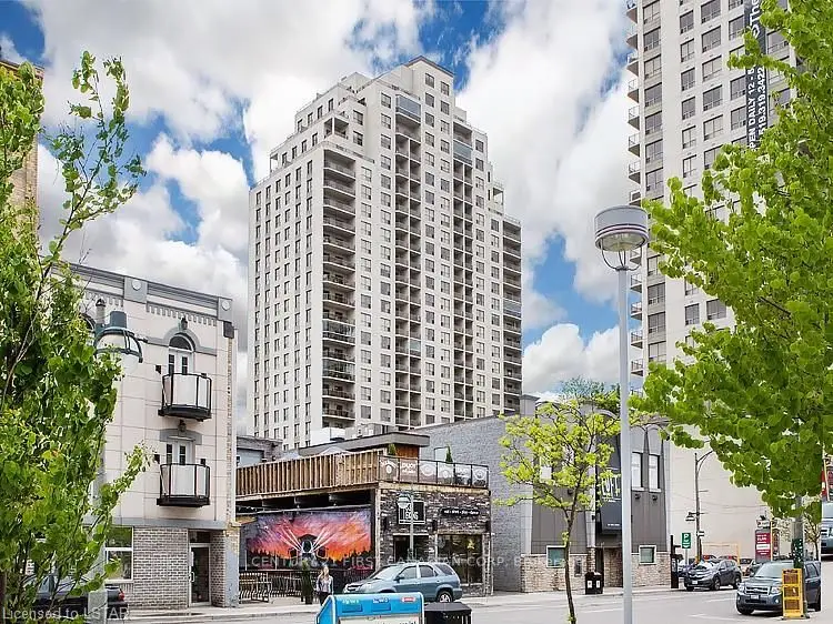
Showing 1-9 of 9 active listings
Browse Downtown London by home type
Listing data provided under copyright by the London and St. Thomas Association of REALTORS® and other participating boards via PropTx Amplify Syndication. Information is deemed reliable but not guaranteed accurate. Only active listings are shown.
The core still follows the town plot surveyed in 1826. The City's Downtown Heritage Conservation District Plan describes its limits as Carling Street (then running to the river) and Queens Avenue on the north, Wellington Street on the east and the Thames on the west, with land east of Wellington and north of Queens added when London was first incorporated in 1840. That later survey is why Dundas and King Streets are wider than the older streets around them.
Some of the city's oldest public spaces are here. The plan notes that the Middlesex County Courthouse square was set aside in February 1793, that there has been a public market square beside Covent Garden Market since the 1850s, and that St. Paul's Cathedral grounds have been a landmark since the 1830s. The parkland along the river at the Forks was assembled from the 1960s onward and joined the Eldon House grounds, given to the City in 1960.
When we say downtown, we mean the City's Central London planning district, minus the East and West Woodfield heritage districts, which we treat as a neighbourhood of their own. That leaves the office and entertainment core around Dundas Place, the blocks east of Wellington Street toward Adelaide Street, the streets north toward Oxford Street, and SoHo, the older residential area at the district's south end next to the south branch of the Thames.
It is London's most renter-heavy district. In the 2016 census profile for the whole planning district (Woodfield included), 78% of households rented and 22% owned. Apartments made up most of the housing: 38% of occupied dwellings were in buildings of five or more storeys and 34% in buildings under five storeys, with single-detached houses at 16%, duplex units 6%, semi-detached 4% and row houses 2%.
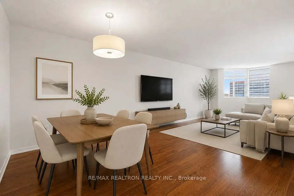
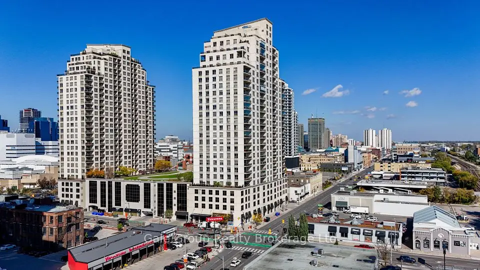
Mostly condominium apartments, in high-rise towers and in smaller low-rise buildings. For many buyers that means a one- or two-bedroom unit and a short walk to the office, Fanshawe College's downtown campus at 130 Dundas Street, or the arena. If you want to compare, look at condos for sale across the rest of London.
Freehold houses are the minority (single-detached houses were 16% of dwellings in 2016 and duplex units 6%), but they do come up. If you are weighing a downtown condo against a first house, we lay out the costs for first-time buyers side by side.
Council adopted the Downtown Heritage Conservation District on April 11, 2012, and it was designated under Part V of the Ontario Heritage Act on June 18, 2013. The plan calls it London's first heritage district covering a commercial area and the first not started by residents. The City describes its limits as the centre line of the Thames from the CN tracks to Blackfriars Bridge on the west, Fullarton Street, Richmond Street and Dufferin Avenue on the north (abutting West Woodfield), the west side of Waterloo Street on the east, and King Street, Dundas Street and the CN tracks on the south, excluding Citi Plaza. Eldon House, Harris Park and Ivey Park are inside it.
As in London's other heritage districts, the plan focuses on what can be seen from streets, laneways and parks. Heritage Alteration Permits are generally needed for major alterations and additions visible from streets, laneways or parks; interiors are not affected. For a condo buyer that usually matters through the corporation (exterior work, windows, signage) rather than your own unit. For a house or a mixed-use building inside the boundary, check the plan's property matrix and talk to a City Heritage Planner before you plan exterior changes.
Almost every downtown resale is a condo, so the status certificate is the document that protects you. The Condominium Authority of Ontario says anyone can request one, the corporation can charge up to $100 including taxes, and it must be provided within 10 days. It includes the declaration, by-laws and rules, the current budget and last audited financial statements, a statement on the most recent reserve fund study and the state of the reserve fund, whether the unit is behind on common expenses, any increase in fees and the reason, and any special assessments.
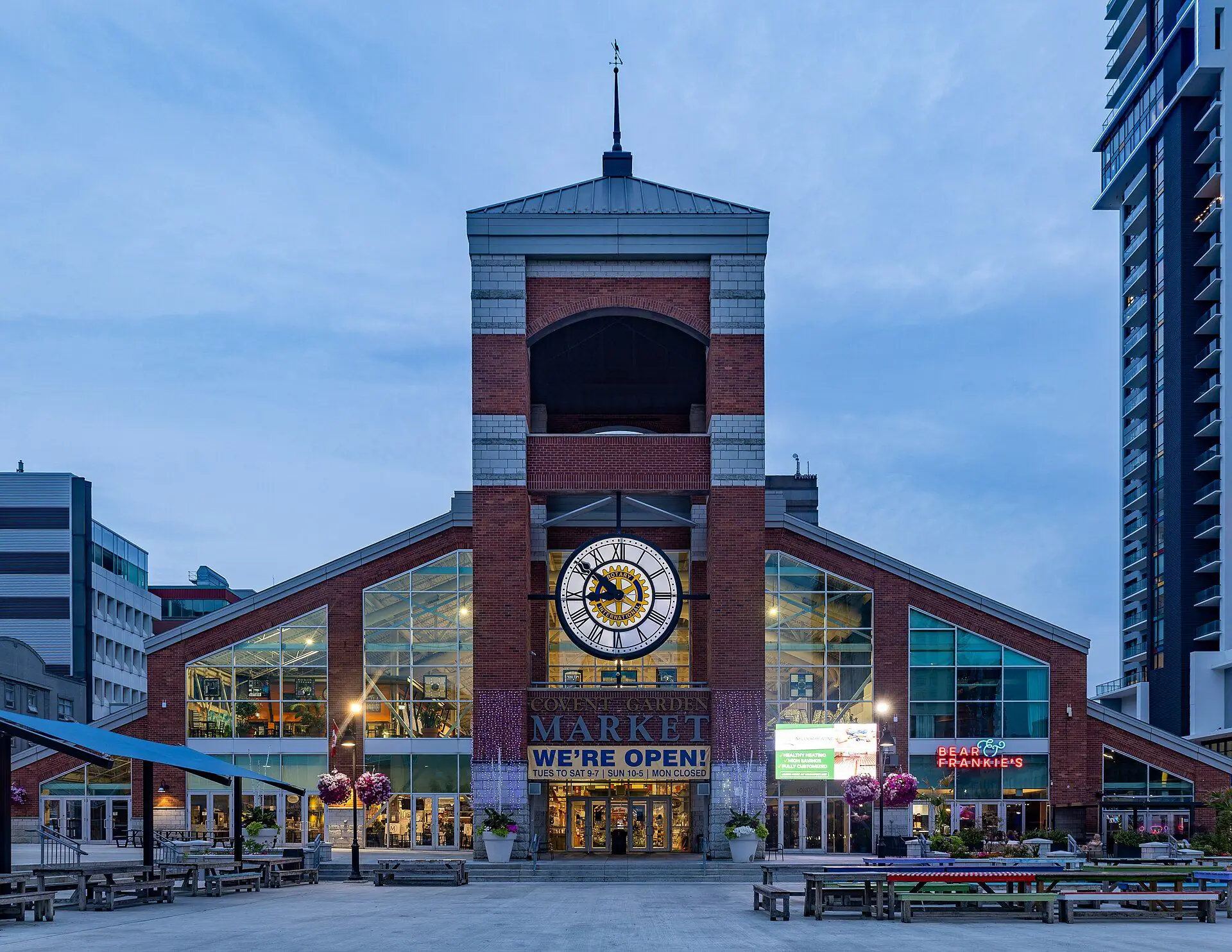
Covent Garden Market at 130 King Street has operated since 1845, with a weekly farmers' market and cultural festivals through the year. Around it, Dundas Place runs from Wellington Street to Ridout Street as a flexible, curbless street shared by pedestrians, cyclists and drivers; the City can close it to cars for events, and its blocks run from the Event Block at Ridout to the Library Block at Wellington. Richmond Row, the Richmond Street shopping strip, runs from Oxford Street down to Victoria Park, according to Tourism London.
The London Public Library's Central Library at 251 Dundas Street includes the Children's Library and the Rotary Reading Garden. The downtown arena, Canada Life Place, is a short walk away.
For green space, Harris Park at 531 Ridout Street North is the riverside festival ground, with a restored shoreline from the Queens Avenue Bridge to Blackfriars Bridge. Ivey Park and the Forks of the Thames park share the 331 Thames Street address, with a spray pad and a viewing area for the Walter J. Blackburn Memorial Fountain, and the 45-kilometre Thames Valley Parkway runs along the river from here. Victoria Park, with its bandshell and outdoor rink, is just north in Woodfield.
More easily than anywhere else in London. Curbside bus-only lanes on King Street, Queens Avenue, Ridout Street North and Wellington Street carry London Transit buses through the core, and many routes run through downtown. Check LTC for routes and times.
VIA Rail's London station is at 205 York Street, a few blocks south of Dundas Place.
Yes. The Thames Valley District School Board runs H.B. Beal Secondary School at 525 Dundas Street and Aberdeen Public School at 580 Grey Street, and London Central Secondary School sits at 509 Waterloo Street in neighbouring Woodfield. The London District Catholic School Board's Catholic Central High School is at 450 Dundas Street. School attendance areas follow addresses, not neighbourhood names, so confirm with the TVDSB and LDCSB locators before you buy.
Beyond the status certificate, these are the checks we work through with downtown buyers:
If you're still comparing, see how downtown fits with London's other neighbourhoods, or look over the river at Old South and Wortley Village and Blackfriars and Petersville, both a short walk from the core.
Something else? Ask Rob or George directly.
Not the way we count it. The City's Central London planning district includes the East and West Woodfield heritage districts, but we treat Woodfield as its own neighbourhood and count the rest of the district as downtown.
The Condominium Authority of Ontario says up to $100 including all applicable taxes, and the corporation must provide it within 10 days of the request.
You will see two dates. Council adopted the district and its plan on April 11, 2012, and the designation under Part V of the Ontario Heritage Act took effect on June 18, 2013, according to the City.
VIA Rail's London station is at 205 York Street, a few blocks south of Dundas Place.
SoHo is the older neighbourhood in the south part of the Central London planning district, toward the south branch of the Thames. It includes the Old Victoria Hospital Lands.
Some do and some do not. Parking can be an owned unit, an exclusive-use common element or a rental from the corporation, so check the listing and the status certificate for the unit you are considering.
Call Rob or George directly, or send a message and one of them will get back to you. A home evaluation is free and prepared by a person, never a formula.