
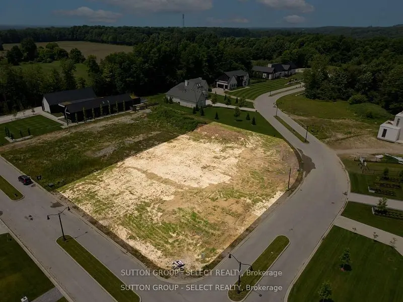
$999,000
Showing 1-2 of 2 active listings
Browse Sharon Creek by home type
Listing data provided under copyright by the London and St. Thomas Association of REALTORS® and other participating boards via PropTx Amplify Syndication. Information is deemed reliable but not guaranteed accurate. Only active listings are shown.
Unlike most of London's publicly owned natural areas, the Lower Dingman Environmentally Significant Area sits in a rural setting, and its main parcel lies partly inside Sharon Creek and partly in Talbot. Its 20 hectares of public land are reached at 3370 Homewood Lane, off Deadman's Road east of Westdel Bourne, with 1.6 km of mostly flat trails beside Dingman Creek. The land was reforested in stages from 1959, starting with the Delaware Sportsmen's Association, and in 2005 the Upper Thames River Conservation Authority and the City removed Alsop's Dam, a 1940s weir on the creek, to improve water quality and fish habitat.
On the east side, about a third of Lambeth Centennial Park (home to Lambeth Arena, a spray pad and trails) and part of Graham Place Park fall inside the district's boundary.
Something else? Ask Rob or George directly.
No. The City draws them as two different planning districts. Lambeth is the built-up former village to the east; Sharon Creek is the rural district west of it.
Yes. It is one of the City's planning districts, even though most of it is rural land.
Yes. The Lower Dingman ESA has 1.6 km of managed trails along Dingman Creek, reached from 3370 Homewood Lane.
London Transit buses serve Lambeth, just to the east. Check LTC for current routes and times.
Call Rob or George directly, or send a message and one of them will get back to you. A home evaluation is free and prepared by a person, never a formula.