
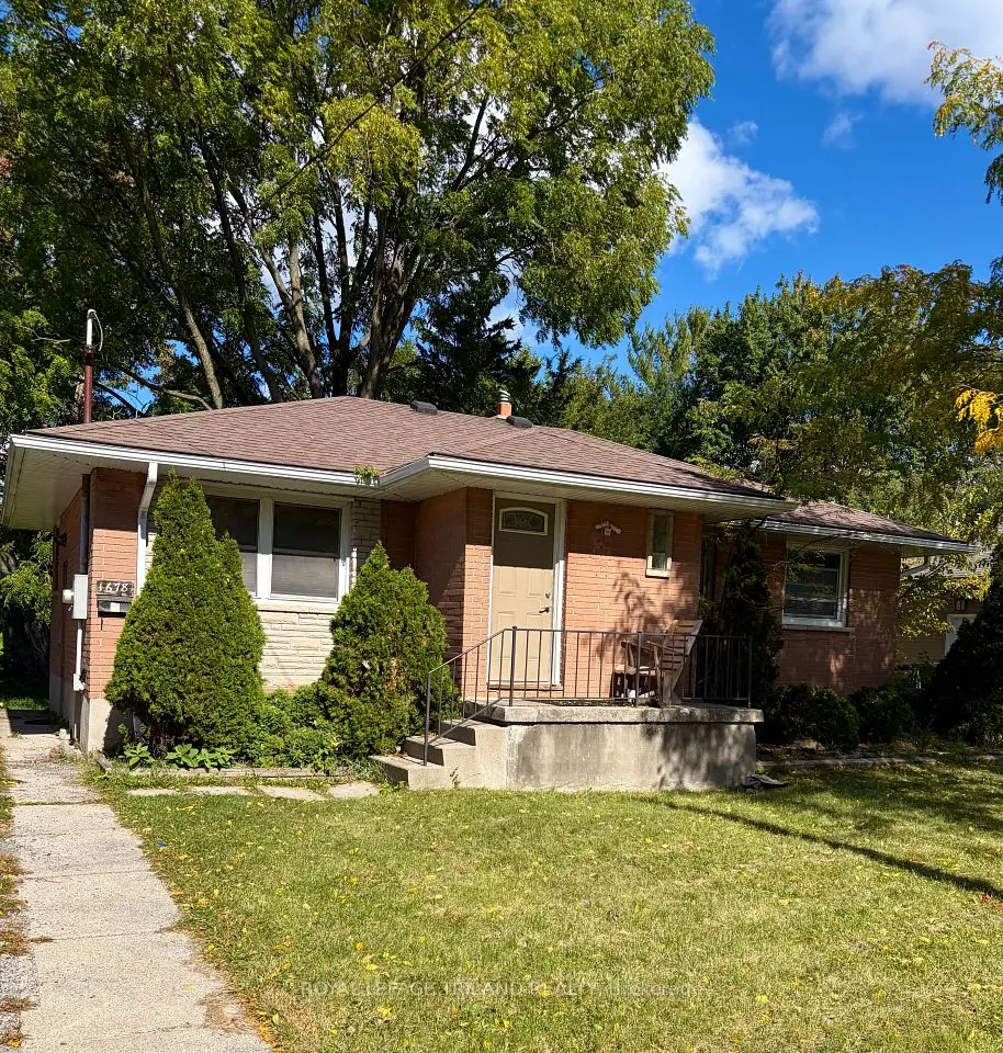
New
$509,900
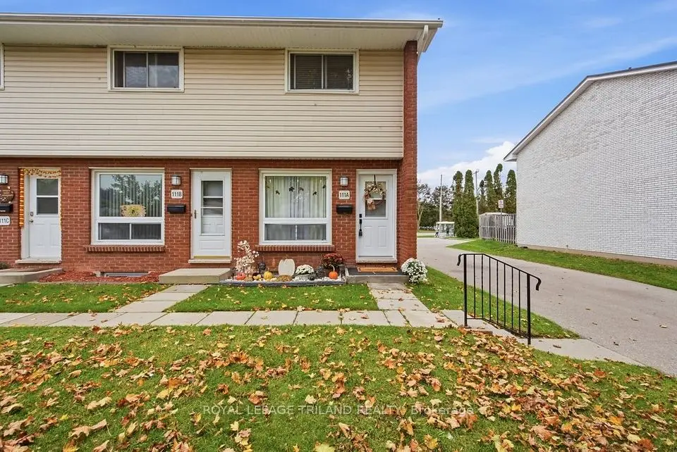
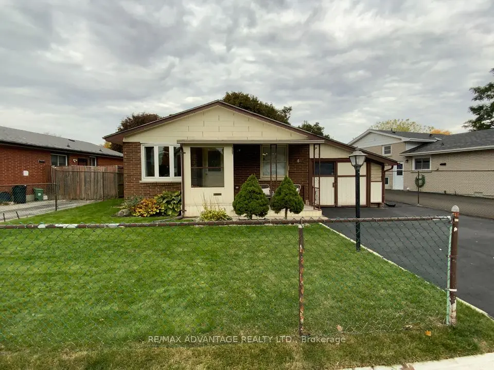
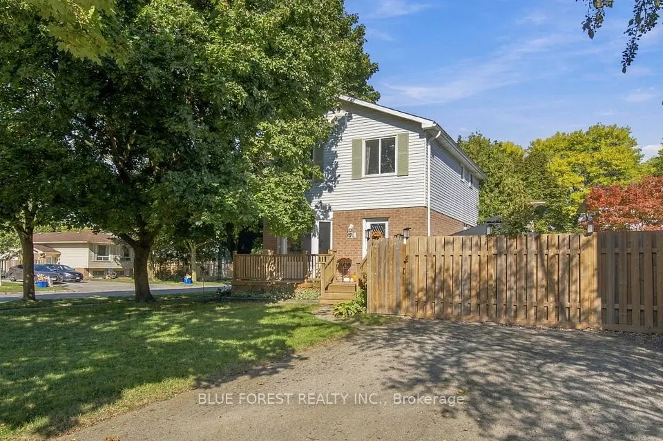
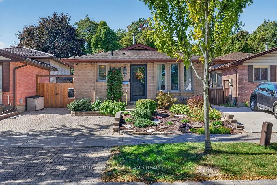
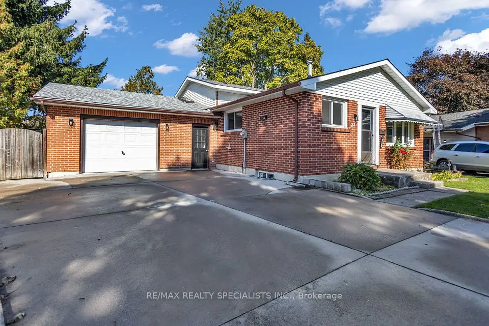
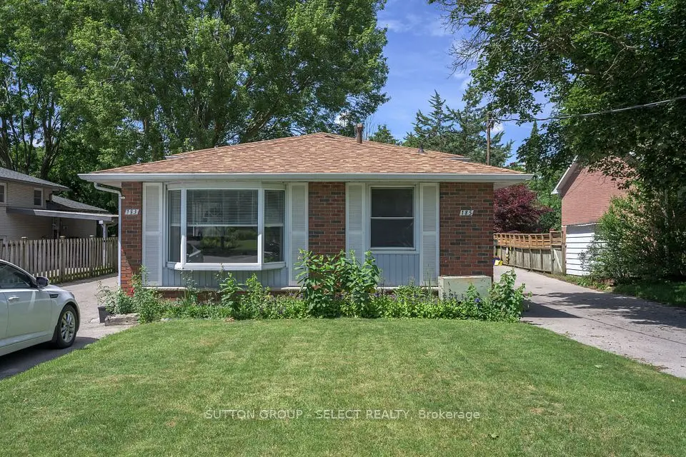
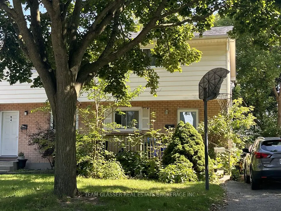
Showing 1-9 of 9 active listings
Browse Argyle by home type
Listing data provided under copyright by the London and St. Thomas Association of REALTORS® and other participating boards via PropTx Amplify Syndication. Information is deemed reliable but not guaranteed accurate. Only active listings are shown.
The City's 2016 profile counted 26,510 residents in 10,935 occupied homes, a population almost unchanged since 1996. Single-detached houses made up 53% of homes and row houses 21%, with 13% in low-rise apartment buildings, 7% semi-detached and only 3% in buildings of five storeys or more. Two in three homes were owner-occupied.
It is not a new-build area. The City's Argyle Core Area Community Improvement Plan found about 70% of the area's building stock was built before 1980, and its study area was zoned roughly 54% residential, 14% industrial, 13% institutional, 12% commercial and 7% open space. Expect established residential streets and townhouse complexes, with industrial zoning along the rail lines and Veterans Memorial Parkway. Wavell Street, the London Heritage Council notes, honours the British Army officer Archibald Wavell.
Dundas Street is Argyle's main commercial and transit corridor, linking Highbury Avenue with Argyle Mall and Veterans Memorial Parkway. The Argyle BIA covers Dundas between Wavell Street and Highbury Avenue, and in 2021 the City adopted the Argyle Core Area Community Improvement Plan to steer reinvestment along the strip.
The East Lions Community Centre at 1731 Churchill Avenue is a 42,000-square-foot City centre with a six-lane 25-metre pool, a leisure pool and a double gym. Argyle Arena is on Wavell Street, and the City's parks map lists Bonaventure Meadows Park, Nelson Park, Admiral Park, Mildred Barons Park and Grampian Woods among the neighbourhood parks. The Pottersburg Valley ESA, a 14.4-hectare natural area managed by the Upper Thames River Conservation Authority for the City, has trail access from Trafalgar Street.
The Thames Valley District School Board lists these schools at Argyle addresses: Bonaventure Meadows Public School (141 Bonaventure Drive), John P. Robarts Public School (84 Bow Street), Lord Nelson Public School (1990 Royal Crescent), Prince Charles Public School (1601 Wavell Street), Princess Anne French Immersion Public School (191 Dawn Drive) and Clarke Road Secondary School (300 Clarke Road). The London District Catholic School Board runs St. Pius X Catholic School (255 Vancouver Street) and Holy Family Catholic School (329 Hudson Drive).
Living near a school does not guarantee a place there, so check each board's locator for the exact address before you firm up an offer.
Argyle Mall is a stop for many London Transit buses; check LTC for routes and times. Fanshawe College's main campus is about 2.6 km from Argyle Mall in a straight line, and London International Airport about 3.8 km.
By car, Veterans Memorial Parkway runs along the east side of the district and Highbury Avenue along the west. For the wider picture, compare Argyle with the rest of east London and the city as a whole.
Something else? Ask Rob or George directly.
In the east end. The City treats Highbury Avenue North, Oxford Street East, Veterans Memorial Parkway and the CN and CP rail lines as the edges that separate Argyle from the East London, Carling, Airport, Crumlin and Hamilton Road districts.
Yes. The main campus is in the neighbouring Huron Heights district, about 2.6 km from Argyle Mall in a straight line.
Plenty. Row houses were 21% of occupied homes in the 2016 Census. The City's Argyle Core Area improvement plan put the share at about 20% for its Argyle study area, against 13% city-wide.
Yes. The London Public Library's East London branch is at 2016 Dundas Street, inside the district near Argyle Mall.
Call Rob or George directly, or send a message and one of them will get back to you. A home evaluation is free and prepared by a person, never a formula.