
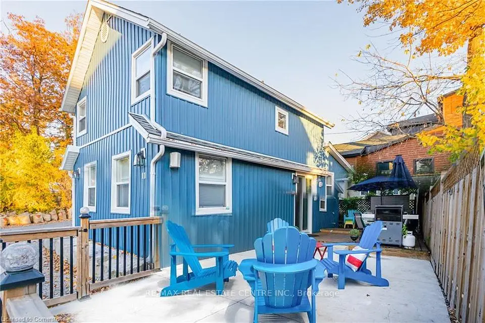
New
$684,900
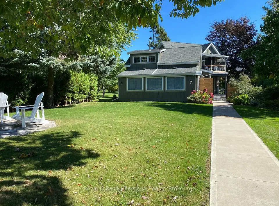
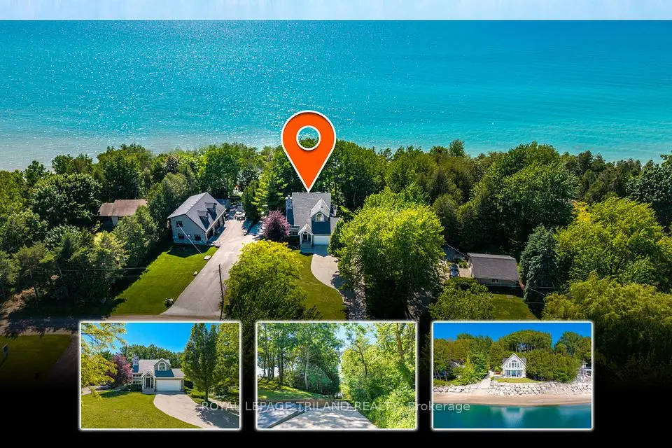
Bayfield, Detached
2+2 beds4 baths1,500-2,000 ft²
Showing 1-9 of 9 active listings
Browse Lake Huron cottages by home type
Listing data provided under copyright by the London and St. Thomas Association of REALTORS® and other participating boards via PropTx Amplify Syndication. Information is deemed reliable but not guaranteed accurate. Only active listings are shown.
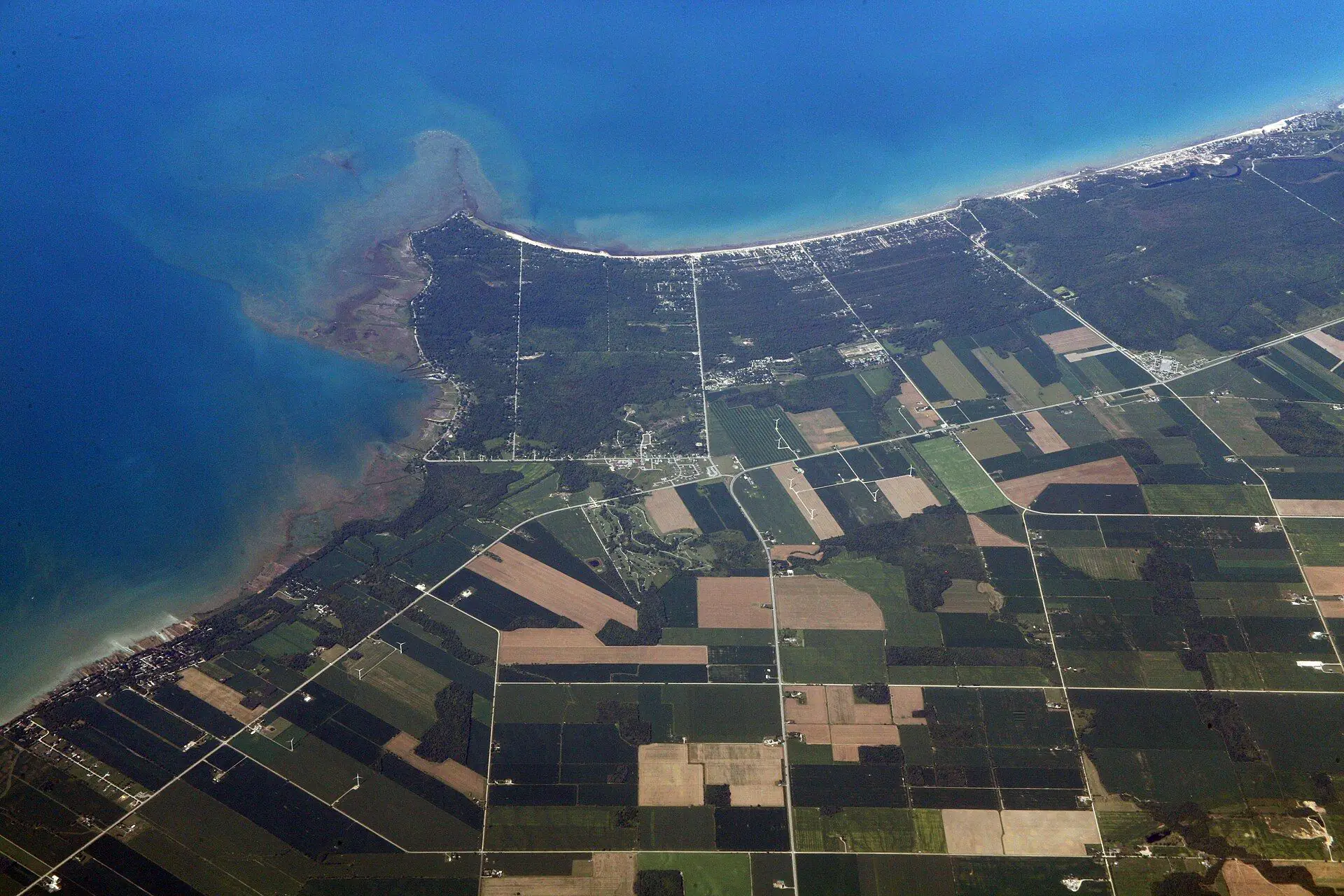
Almost everything except the sunset. Highway 21, known as the Bluewater Highway because it stays so close to the lake, strings the whole stretch together. Here is the shore in order, south to north:
Inland, Lambton Shores also takes in Thedford, Arkona and Forest, a short drive back from the lake.
Around Pinery and Grand Bend the shore is sand and dune, and the Ausable Bayfield Conservation Authority (ABCA) publishes separate guidelines for looking after dune vegetation. Much of the shore the ABCA and the Maitland Valley authority describe further north is bluff instead, where a cottage sits on top and the beach is a climb below. The ABCA has guidelines for bluff vegetation and for bluff access too, which tells you how different the upkeep is.
Lake levels drive the risk. The ABCA notes that Lake Huron reached an all-time high in 1986 and came close to that record again in 2020, and that the high water and waves caused extensive erosion at the toe of the bluffs. Even when levels fall, the Authority warns that many bluffs were left over-steepened and that the high risk of bluff failure will continue as slopes adjust. Farther north, the Maitland Valley Conservation Authority puts it plainly: people who live at the top of an eroded bluff should be aware of the risk to life and property at both the top and the bottom.
Which authority regulates a lot depends on where it drains. Roughly, the St. Clair Region Conservation Authority covers the smaller watersheds draining to southern Lake Huron, including the Plympton-Wyoming shore; the Ausable Bayfield authority covers the Ausable basin and the shore from Grand Bend north to Tower Line; and the Maitland Valley authority maps the shore around Goderich and northward. All three regulate development under Ontario Regulation 41/24, and the ABCA and SCRCA both publish online maps that show whether a property is regulated.
It varies, so confirm it before you fall for a view. Ipperwash is a good example. The Municipality of Lambton Shores says most beachfront property there is privately owned, that a Crown reservation for public use of the beach dates to the Canada Company patent of 1836, and that visitors should use the designated public access points off West Ipperwash Road, Ipperwash Road and Army Camp Road, plus the Ministry of Natural Resources and Forestry's parking lots. Other stretches, like Pinery's 10 km, are entirely public park.
For any lakefront or near-lake listing we check the survey and title to see where the lot line actually falls, whether any access to the beach is deeded or shared, and whether a path crosses someone else's land. Those answers affect privacy, value and what you can build.
It depends on the exact stretch. In Lambton Shores, the Lake Huron water system at Port Blake serves Grand Bend, Thedford, Arkona and the shoreline to the Ipperwash area, and the Lambton Area system serves Forest and the shoreline and Highway 21 from Townsend Line to Ravenswood. Municipal sewage treatment, though, is listed only for Grand Bend, Forest, Thedford, Arkona and the Indian Hills subdivision. So a shoreline cottage can have municipal water and still rely on a septic system.
Where there is a septic system, ask for the permit and pumping records and have it inspected; in Lambton Shores, septic inspections go through the County of Lambton, and Ontario regulates septic systems under the Building Code. If the cottage draws from a well, pull its record from the provincial well map and drop a water sample at the local health unit, where Public Health Ontario runs the bacterial test at no charge. We confirm servicing for every listing in Bluewater, Goderich and Ashfield-Colborne-Wawanosh with the municipality rather than assume.
Some owners rent their cottage out in the weeks they do not use it. If you plan to, check the current rules in the municipality where the cottage sits before you count on rental income. We can walk you through the financing side of buying an investment property.
From Highway 402, exit 34 takes Highway 21 north toward Forest and Grand Bend, and Highway 21 then carries on up the coast through Bayfield to Goderich. Without a car, Huron Shores Area Transit buses serve several of the shore towns; check its current routes and times.
Closer to the water, roads get smaller. Lambton Shores alone maintains roughly 700 lane-kilometres of municipal roads, about 400 of them gravel, with winter plowing, sanding and ice blading. If the lane to a cottage is not one of those municipal roads, find out who plows and repairs it, whether there is a road association or shared maintenance agreement, and whether emergency vehicles can get in year-round. We ask those questions before an offer, not after.
Something else? Ask Rob or George directly.
Grand Bend, roughly 57 km as the crow flies from our office. Port Franks is about 59 km, Bayfield about 77 km and Goderich about 96 km.
Yes. Lake levels rise and fall, and after the near-record highs of 2020 the Ausable Bayfield Conservation Authority says many bluffs were left over-steepened, with a high risk of bluff failure as slopes adjust. Dune shores carry their own dynamic beach hazards.
Partly. The Municipality of Lambton Shores says most beachfront there is private, with public access at designated points off West Ipperwash Road, Ipperwash Road and Army Camp Road and at provincially owned parking lots.
Not without the conservation authority. Work in a regulated shoreline area needs a permit under Ontario Regulation 41/24, the ABCA has its own policy for shore protection in dynamic beach areas, and the Maitland Valley authority asks owners considering shore protection to call its staff before any work starts.
Some have one, some both, some neither. In Lambton Shores much of the shoreline gets municipal water, but sewers are limited to the main villages, so ask about the septic system for any cottage outside them.
No. We include the shoreline villages and townships, so homes a street or two back from the lake turn up too. If you want lakefront only, search Lake Huron waterfront homes.
Call Rob or George directly, or send a message and one of them will get back to you. A home evaluation is free and prepared by a person, never a formula.